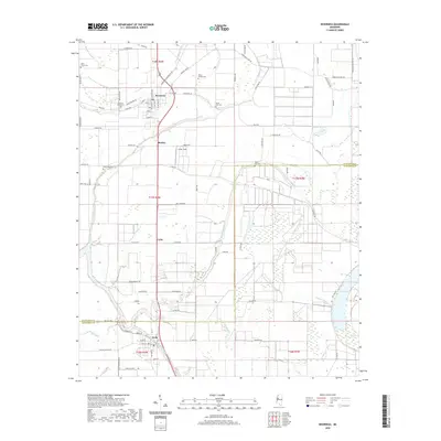
2020 Map of Inverness
USGS Topo · Published 2020About this map
The alluvial landscape of Sunflower and Humphreys counties unfolds across this survey, centered on the community of Inverness. A network of watercourses including Mound Bayou, Short Bayou, and Browns Bayou defines the local drainage, while the expansive Sky Lake and its associated Sky Lake Swamp dominate the southeastern quadrant. This area of the Delta is marked by established local settlements like Isola, Caile, and Bowles, connected by a grid of agricultural and residential roads such as Old Hwy 49 W. Small family and community landmarks are frequent, including Hickory Grove Cem, South Side Cem, and Mount Airy Cem. The map provides a clear picture of land utilization in the early 21st century, where large recreational and agricultural areas like Lester Field sit alongside the drainage patterns of Beaver Dam Bayou.
Find a feature on this map
93 named features on this map. Tap any name to fly to it.
Don’t see what you’re looking for? This feature index may not catch every label — zoom into the map to look around manually.
Map Details
Editions of this 2020 Inverness Map
This is the sole edition of this map. No revisions or reprints were ever made.
Other maps of this area

1940 · Auter
USGS Topo · 1:62,500

1940 · Baird
USGS Topo · 1:62,500

1940 · Mileston
USGS Topo · 1:62,500

1953 · Greenwood
USGS Topo · 1:250,000

1954 · Mileston
USGS Topo · 1:62,500

1956 · Greenwood
USGS Topo · 1:250,000

1961 · Mossy Lake
USGS Topo · 1:62,500

1965 · Inverness
USGS Topo · 1:24,000

1965 · Indianola
USGS Topo · 1:24,000

1965 · Kinlock
USGS Topo · 1:24,000