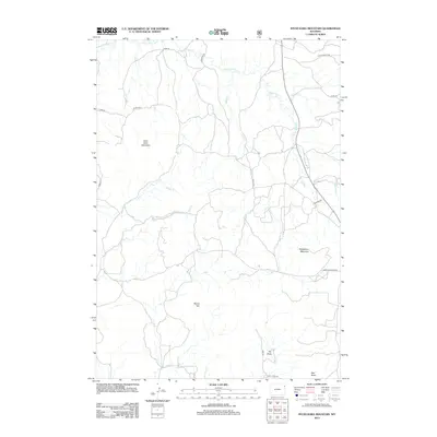
2012 Map of Inyan Kara Mountain
USGS Topo · Published 2012About this map
Inyan Kara Mountain dominates the northwestern landscape of this Crook County quadrangle, where the Black Hills transition into high plains drainage systems. The terrain is defined by prominent igneous intrusions and volcanic remnants like Mount Tom and Strawberry Mountain, which stand as landmarks above a network of seasonal watercourses. The drainage pattern is complex, with Inyan Kara Cr winding through the north while Skull Cr and its tributaries, including W Fork Skull Cr, carve out the southern reaches.
Find a feature on this map
23 named features on this map. Tap any name to fly to it.
Don’t see what you’re looking for? This feature index may not catch every label — zoom into the map to look around manually.
Map Details
Editions of this 2012 Inyan Kara Mountain Map
This is the sole edition of this map. No revisions or reprints were ever made.
Other maps of this area
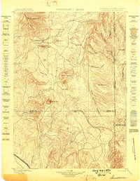
1898 · Sundance
USGS Topo · 1:125,000
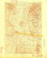
1902 · Sundance
USGS Topo · 1:125,000

1954 · Gillette
USGS Topo · 1:250,000

1955 · Gillette
USGS Topo · 1:250,000

1958 · Gillette
USGS Topo · 1:250,000
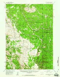
1958 · Four Corners
USGS Topo · 1:62,500
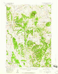
1958 · Inyan Kara Mountain
USGS Topo · 1:62,500
1958 · Tinton
USGS Topo · 1:62,500
1958 · Sundance
USGS Topo · 1:62,500

1962 · Gillette
USGS Topo · 1:250,000