Loading...
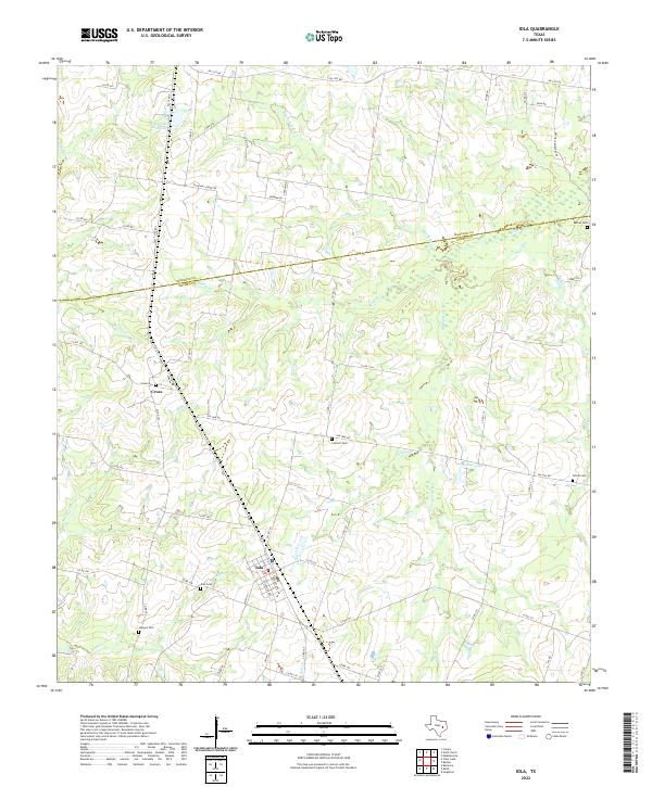
Loading map...2022 Map of Iola
USGS Topo · Published 2022About this map
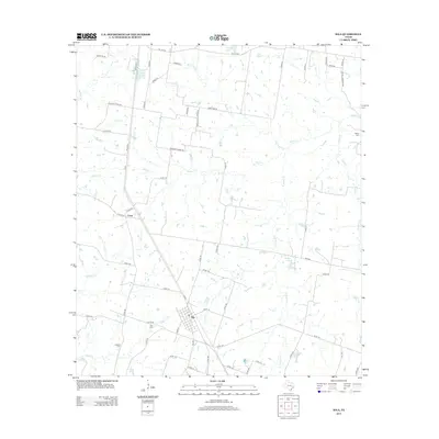
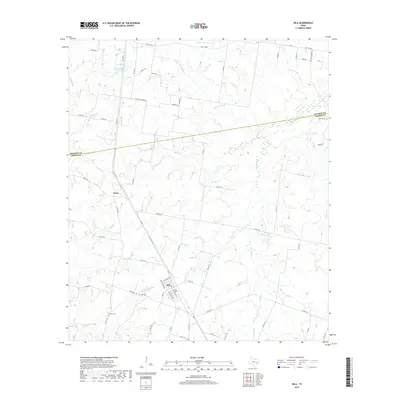
The boundary between Madison Co and Grimes Co cuts through a landscape defined by its creek systems and historic rural burial grounds. The settlement of Iola serves as a local hub in the south, while the community of Cross lies to the northwest. This area of East Texas is heavily patterned by water, with Bedias Creek and its tributaries, including North Bedias Creek and Neeley Creek, winding through the terrain.
Find a feature on this map
67 named features on this map. Tap any name to fly to it.
Don’t see what you’re looking for? This feature index may not catch every label — zoom into the map to look around manually.
Map Details
Date Portrayed2022
Date Published2022
PublisherU.S. Geological Survey
Map TypeTopographic
Scale1:24,000
Physical Dimensions24 x 29 inches
Editions of this 2022 Iola Map
This is the sole edition of this map. No revisions or reprints were ever made.
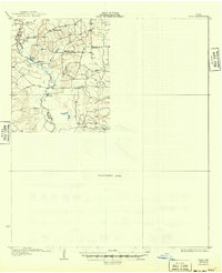
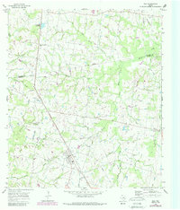
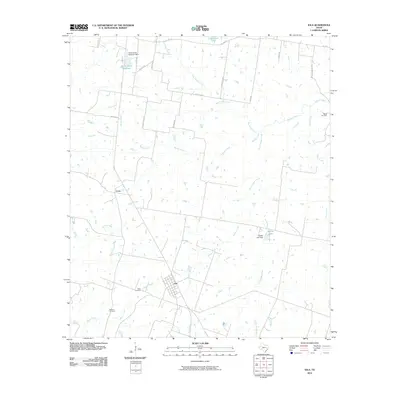
Historical Maps of Cross Through Time
7 maps found

Featured Locations
Source Details
SourceU.S. Geological Survey
CopyrightPublic Domain