Loading...
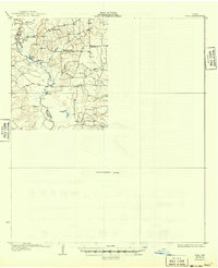
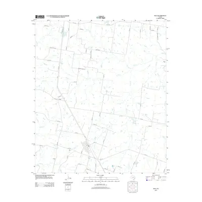
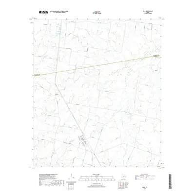
Loading map...1931 Map of Iola
USGS Topo · Published 1949About this map
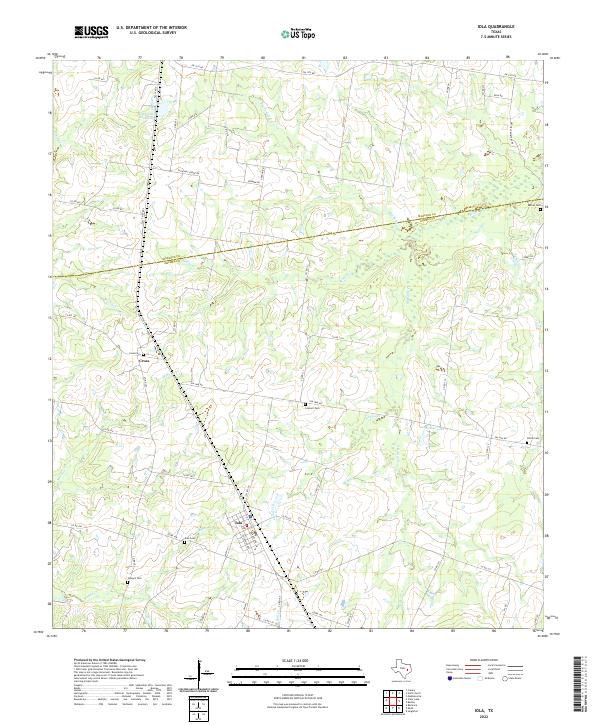
The Navasota River forms a complex boundary between Madison, Brazos, Leon, and Robertson Counties, defining a landscape of oxbow lakes and bottomlands. Surveyed in the 1920s, this map reveals a rural topography where community life centered on landmarks like Plain View Ch and nearby Plain View Sch. The scattered distribution of farmsteads and small rural hubs like Burns Store reflects an era before extensive highway development, where local commerce and education were anchored to specific family-named landmarks and creek drainages.
Find a feature on this map
24 named features on this map. Tap any name to fly to it.
Don’t see what you’re looking for? This feature index may not catch every label — zoom into the map to look around manually.
Map Details
Date Portrayed1931
Date Published1949
PublisherU.S. Geological Survey
Map TypeTopographic
Scale1:62,500
Physical Dimensions17 x 20.9 inches
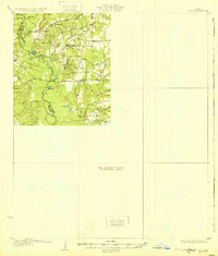
Editions of this 1931 Iola Map
2 editions found
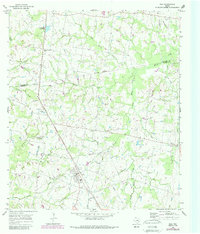
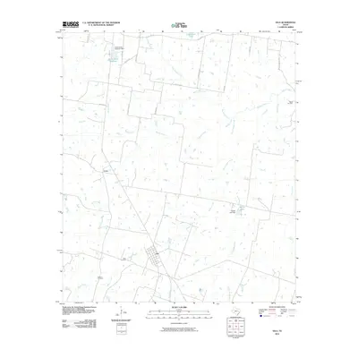
Historical Maps of Kurten Through Time
7 maps found

Featured Locations
Source Details
SourceU.S. Geological Survey
CopyrightPublic Domain