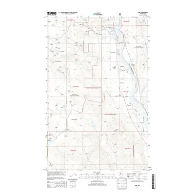
2014 Map of Ione
USGS Topo · Published 2014About this map
The Pend Oreille River carves a deep valley through this northern Washington landscape, anchoring the timber and transit corridor of Ione. The town is characterized by its riverside industry and infrastructure, featuring the Ione Millpond and the nearby Ione Municipal Airport. To the south, the small community of Tiger sits at a junction of roads and water, near Tiger Slough and Tiger Meadows. Much of the surrounding area is defined by the Colville National Forest, where a network of forest roads like Smackout Pass Rd and Ione Pit Rd navigate the rising elevations. Local history is preserved at Riverside Cem north of town, while recreation is evident at the Serendipity Golf Course and the remote Lake Leo Campground near the southwestern corner of the quadrangle. Numerous mountain streams, including Big Muddy Cr and Lost Cr, drain from the high ridges into the central river valley.
Find a feature on this map
68 named features on this map. Tap any name to fly to it.
Don’t see what you’re looking for? This feature index may not catch every label — zoom into the map to look around manually.
Map Details
Editions of this 2014 Ione Map
This is the sole edition of this map. No revisions or reprints were ever made.
Other maps of this area
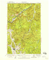
1929 · Colville
USGS Topo · 1:125,000
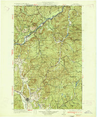
1933 · Colville
USGS Topo · 1:125,000
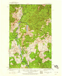
1934 · Metaline
USGS Topo · 1:125,000
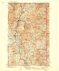
1942 · Metaline
USGS Topo · 1:125,000
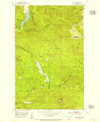
1952 · Deep Lake
USGS Topo · 1:24,000

1958 · Sandpoint
USGS Topo · 1:250,000

1963 · Sandpoint
USGS Topo · 1:250,000
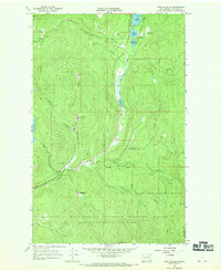
1966 · Lake Gillette
USGS Topo · 1:24,000
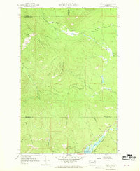
1967 · Aladdin Mtn
USGS Topo · 1:24,000
1967 · Timber Mtn.
USGS Topo · 1:24,000