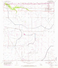
1955 Map of Iowa
USGS Topo · Published 1971About this map
The railroad town of Iowa anchors this landscape in Calcasieu Parish, where the Southern Pacific and Missouri Pacific lines converge. This mid-century survey reveals a transition from traditional agricultural bayou country to an industrial corridor defined by energy extraction and drainage engineering. To the south and east, the Iowa Oil and Gas Field and Holmwood Oil and Gas Field mark the heavy footprint of the petroleum industry, while a complex system of levees, a canal, and the prominent Government Ditch reorder the natural flow of the West Fork and East Fork of English Bayou.
Find a feature on this map
24 named features on this map. Tap any name to fly to it.
Don’t see what you’re looking for? This feature index may not catch every label — zoom into the map to look around manually.
Map Details
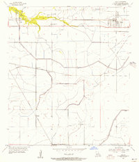
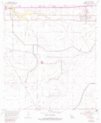
Editions of this 1955 Iowa Map
3 editions found
Other maps of this area

1932 · Lake Charles NE
USGS Topo · 1:31,680

1932 · Lake Charles NW
USGS Topo · 1:31,680

1932 · Lake Charles SW
USGS Topo · 1:31,680

1932 · Lake Charles SE
USGS Topo · 1:31,680

1935 · Moss Bluff
USGS Topo · 1:31,680

1942 · Lake Charles
USGS Topo · 1:62,500

1946 · Lacassine
USGS Topo · 1:31,680

1946 · Hayes
USGS Topo · 1:31,680

1947 · Fenton
USGS Topo · 1:31,680

1947 · Moss Bluff
USGS Topo · 1:31,680