
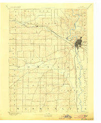
1891 Map of Iowa City
USGS Topo · Published 1891About this map
Iowa City serves as the focal point of this late 19th-century survey, situated at the confluence of the river and major rail lines. The local geography is defined by a dense network of watercourses, including Clear Creek and Old Man Creek, which traverse the undulating landscape of Johnson County. These valleys shaped the early development of the region, providing natural corridors for both transport and small settlements like Tiffin and Coralville.
Find a feature on this map
23 named features on this map. Tap any name to fly to it.
Don’t see what you’re looking for? This feature index may not catch every label — zoom into the map to look around manually.
Map Details
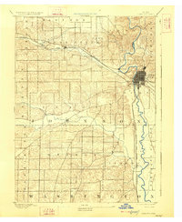
Editions of this 1891 Iowa City Map
3 editions found
Other maps of this area

1887 · Cedar Rapids
USGS Topo · 1:62,500

1888 · Amana
USGS Topo · 1:62,500

1889 · Amana
USGS Topo · 1:62,500

1891 · Oxford
USGS Topo · 1:62,500

1891 · Mechanicsville
USGS Topo · 1:62,500

1891 · Cedar Rapids
USGS Topo · 1:62,500

1894 · Mechanicsville
USGS Topo · 1:62,500

1894 · Oxford
USGS Topo · 1:62,500

1894 · West Liberty
USGS Topo · 1:62,500

1899 · Amana
USGS Topo · 1:62,500