
1979 Map of Iowa Falls East
USGS Topo · Published 1980About this map
The Iowa River carves through the southwestern corner of this landscape, anchoring the industrial and civic life of Iowa Falls. During this era in the late 1970s, the region served as a critical railroad junction, where the Illinois Central Gulf, Chicago Rock Island and Pacific, and Chicago and North Western lines converged to move grain and goods across the Iowa plains. The transition from the rural townships of Grant and Osceola in Franklin County down into Hardin County is marked by a network of agricultural infrastructure, including several Gravel Pits and a Quarry near the river. Local heritage is preserved at sites like St Peters Ch, Friends Cem, and Pleasant Hill Cem, while the small settlement of Robertson sits quietly at the eastern edge of the survey.
Find a feature on this map
24 named features on this map. Tap any name to fly to it.
Don’t see what you’re looking for? This feature index may not catch every label — zoom into the map to look around manually.
Map Details
Editions of this 1979 Iowa Falls East Map
This is the sole edition of this map. No revisions or reprints were ever made.
Other maps of this area

1954 · Waterloo
USGS Topo · 1:250,000

1955 · Waterloo
USGS Topo · 1:250,000

1979 · Ackley NE
USGS Topo · 1:24,000

1979 · Coulter
USGS Topo · 1:24,000

1979 · Iowa Falls West
USGS Topo · 1:24,000

1979 · Buckeye East
USGS Topo · 1:24,000

1979 · Ackley
USGS Topo · 1:24,000

1979 · Steamboat Rock
USGS Topo · 1:24,000
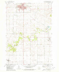
1979 · Hampton South
USGS Topo · 1:24,000
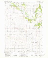
1979 · Owasa
USGS Topo · 1:24,000