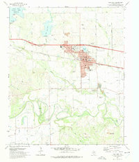
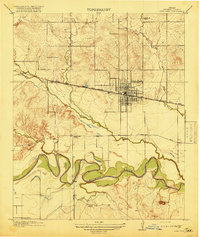
1972 Map of Iowa Park
USGS Topo · Published 1975About this map
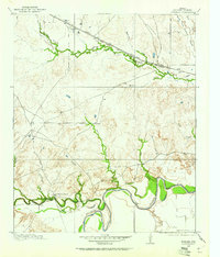
The Wichita River snakes across this North Texas landscape, defining a region where water management and petroleum extraction shaped the 1970s economy. In Iowa Park, the residential grid is anchored by institutions like Kidwell Sch and Bradford Sch, while the northern outskirts feature several reservoirs including North Fork Buffalo Creek Reservoir and Lake Iowa Park. The presence of the North Side Canal and South Side Canal illustrates the extensive irrigation infrastructure supporting the local Agricultural Experimental Station. To the southwest, the landscape is dominated by the sprawling K M A Oil Field, where numerous oil wells punctuate the terrain near Burnett Park. The Fort Worth and Denver railroad runs parallel to the highway, connecting the town to the broader industrial network of Wichita County.
Find a feature on this map
33 named features on this map. Tap any name to fly to it.
Don’t see what you’re looking for? This feature index may not catch every label — zoom into the map to look around manually.
Map Details
Editions of this 1972 Iowa Park Map
This is the sole edition of this map. No revisions or reprints were ever made.
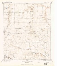
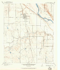
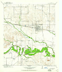
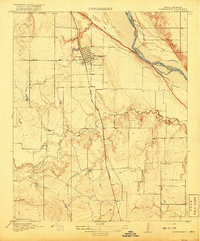
Other maps of this area

1915 · Clara
USGS Topo · 1:24,000
1915 · Barwise School
USGS Topo · 1:24,000
1915 · Burkburnett
USGS Topo · 1:24,000
1916 · Iowa Park
USGS Topo · 1:24,000
1916 · Fowlkes
USGS Topo · 1:24,000
1918 · Buckburnett
USGS Topo · 1:31,680
1918 · Barwise School
USGS Topo · 1:31,680
1918 · Clara
USGS Topo · 1:31,680
1918 · Iowa Park
USGS Topo · 1:31,680
1919 · Fowlkes
USGS Topo · 1:31,680