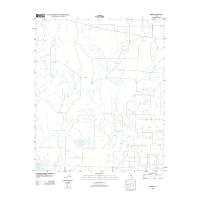
2012 Map of Ira NW
USGS Topo · Published 2012About this map
Water management dominates this stretch of West Texas ranch land, where the topography is defined by a complex network of seasonal creeks and livestock tanks. The landscape is punctuated by water sources like Indian Head Tank, Polly Tank, and Mesquite Tank, essential for sustaining the cattle operations at the Nine R Ranch. The drainage patterns are clearly marked by the winding paths of Bull Cr, Mooar Cr, and Red Mud Cr, which feed into larger reservoirs at the southern edge of the survey. The appearance of Division Lake and the northern reaches of Lake J B Thomas illustrates the significance of larger-scale water storage for Scurry County. A grid of rural roads, including FM 1205 and Everett Rd, provides access across the semi-arid terrain to these remote ranching outposts.
Find a feature on this map
24 named features on this map. Tap any name to fly to it.
Don’t see what you’re looking for? This feature index may not catch every label — zoom into the map to look around manually.
Map Details
Editions of this 2012 Ira NW Map
This is the sole edition of this map. No revisions or reprints were ever made.
Other maps of this area
1951 · Ira SW
USGS Topo · 1:24,000
1951 · Ira
USGS Topo · 1:24,000
1951 · Ira NW
USGS Topo · 1:24,000
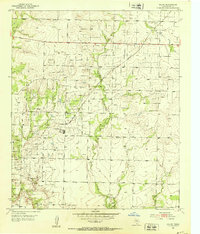
1952 · Ira NE
USGS Topo · 1:24,000
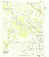
1954 · Dermott
USGS Topo · 1:24,000
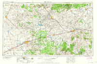
1954 · Big Spring
USGS Topo · 1:250,000
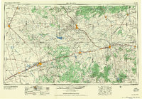
1958 · Big Spring
USGS Topo · 1:250,000
1969 · Arah
USGS Topo · 1:24,000
1969 · Fivemile Creek
USGS Topo · 1:24,000
1970 · Gunsight Draw NE
USGS Topo · 1:24,000