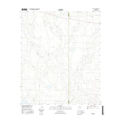
2016 Map of Ira NW
USGS Topo · Published 2016About this map
The Borden County and Scurry County border bisects this West Texas landscape, defined by a network of drainage creeks and ranching infrastructure. Arid terrain features like Red Mud Creek, Gavett Creek, and Bull Creek carve through the land, leading toward the significant water resource of Lake J B Thomas at the southern edge. The map reveals the critical importance of water management in this region, documented by numerous named stock tanks such as Indian Head Tank, Wicker Tank, and Mesquite Tank.
Find a feature on this map
28 named features on this map. Tap any name to fly to it.
Don’t see what you’re looking for? This feature index may not catch every label — zoom into the map to look around manually.
Map Details
Editions of this 2016 Ira NW Map
This is the sole edition of this map. No revisions or reprints were ever made.
Other maps of this area
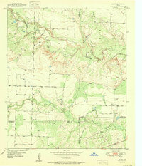
1951 · Ira SW
USGS Topo · 1:24,000
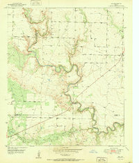
1951 · Ira
USGS Topo · 1:24,000
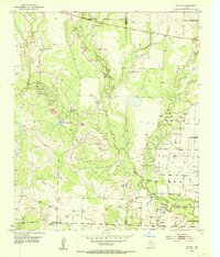
1951 · Ira NW
USGS Topo · 1:24,000
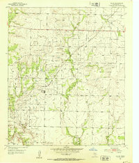
1952 · Ira NE
USGS Topo · 1:24,000
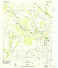
1954 · Dermott
USGS Topo · 1:24,000
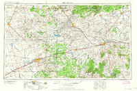
1954 · Big Spring
USGS Topo · 1:250,000
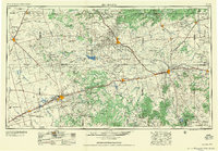
1958 · Big Spring
USGS Topo · 1:250,000
1969 · Arah
USGS Topo · 1:24,000
1969 · Fivemile Creek
USGS Topo · 1:24,000
1970 · Gunsight Draw NE
USGS Topo · 1:24,000