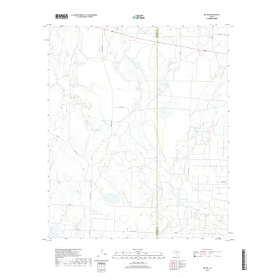
2019 Map of Ira NW
USGS Topo · Published 2019About this map
Borden and Scurry County lines bisect this West Texas landscape, where the seasonal drainages of Red Mud Cr and Bull Cr define the rolling topography. The region's reliance on water management is evident in the numerous named earthen tanks scattered throughout the quadrangle, including Indian Head Tank, Wascomb Tank, and Mesquite Tank. These features, along with Divesion Lake, suggest a ranching-focused economy that has adapted to the arid climate of the Llano Estacado. A network of rural routes, such as Ranch Rd 1610 and FM 1205, connects isolated landholdings. The map documents the persistent ranching infrastructure of the early 21st century, showing how modern land management follows the natural contours of Gavett Cr and Moore Cr.
Find a feature on this map
25 named features on this map. Tap any name to fly to it.
Don’t see what you’re looking for? This feature index may not catch every label — zoom into the map to look around manually.
Map Details
Editions of this 2019 Ira NW Map
This is the sole edition of this map. No revisions or reprints were ever made.
Other maps of this area
1951 · Ira SW
USGS Topo · 1:24,000
1951 · Ira
USGS Topo · 1:24,000
1951 · Ira NW
USGS Topo · 1:24,000
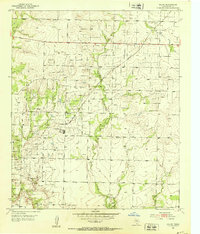
1952 · Ira NE
USGS Topo · 1:24,000
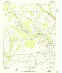
1954 · Dermott
USGS Topo · 1:24,000
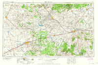
1954 · Big Spring
USGS Topo · 1:250,000
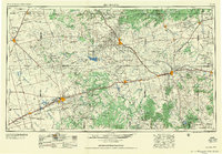
1958 · Big Spring
USGS Topo · 1:250,000
1969 · Arah
USGS Topo · 1:24,000
1969 · Fivemile Creek
USGS Topo · 1:24,000
1970 · Gunsight Draw NE
USGS Topo · 1:24,000