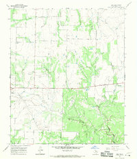
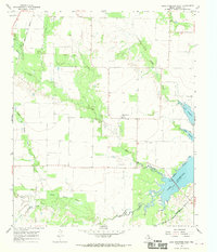
1966 Map of Irby
USGS Topo · Published 1970About this map
The rolling ranchlands of Haskell County are defined here by a landscape of drainage creeks and a growing petroleum industry in the mid-1960s. Mattson and Irby serve as the primary focal points for this rural community, situated along the east-west corridor of Highway 266. The map records a significant number of Oil Wells peppered across the terrain, indicating the local economic reliance on energy extraction during this period. For those researching family history, the Roberts Cem and a lonely Grave label near Irby offer precise coordinates for local genealogical study.
Find a feature on this map
13 named features on this map. Tap any name to fly to it.
Don’t see what you’re looking for? This feature index may not catch every label — zoom into the map to look around manually.
Map Details
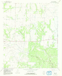
Editions of this 1966 Irby Map
2 editions found
Other maps of this area

1954 · Wichita Falls
USGS Topo · 1:250,000

1958 · Wichita Falls
USGS Topo · 1:250,000

1962 · Antelope Creek SW
USGS Topo · 1:24,000

1965 · Reynolds Bend NW
USGS Topo · 1:24,000
1966 · Hoover Mountain
USGS Topo · 1:24,000

1966 · Haskell
USGS Topo · 1:24,000
1966 · Lake Stamford East
USGS Topo · 1:24,000
1966 · Lake Stamford West
USGS Topo · 1:24,000

1967 · Weinert
USGS Topo · 1:24,000

1967 · Mattson
USGS Topo · 1:24,000