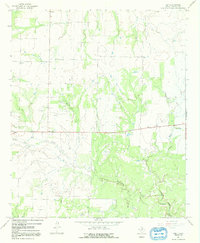
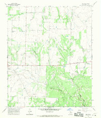
1966 Map of Irby
USGS Topo · Published 1992About this map
Irby and Mattson anchor this mid-1960s survey of the Haskell County landscape, where the agricultural plains are deeply etched by the winding drainages of Red Creek and Paint Creek. The map reveals a transitional economy where traditional farming meets energy extraction, evidenced by scattered Oil Wells and a lonely Landing Strip south of the main road. Genealogists will find particular value in the placement of the Roberts Cem and a solitary Grave located just east of the Irby settlement. This terrain is defined by its watercourses, including North Paint Creek and Horse Creek, which dictate the local topography and the placement of the small Roadside Park along State Route 24.
Find a feature on this map
17 named features on this map. Tap any name to fly to it.
Don’t see what you’re looking for? This feature index may not catch every label — zoom into the map to look around manually.
Map Details
Editions of this 1966 Irby Map
2 editions found
Other maps of this area

1954 · Wichita Falls
USGS Topo · 1:250,000

1958 · Wichita Falls
USGS Topo · 1:250,000

1962 · Antelope Creek SW
USGS Topo · 1:24,000

1965 · Reynolds Bend NW
USGS Topo · 1:24,000
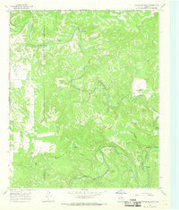
1966 · Hoover Mountain
USGS Topo · 1:24,000

1966 · Haskell
USGS Topo · 1:24,000
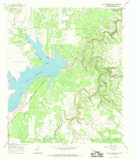
1966 · Lake Stamford East
USGS Topo · 1:24,000
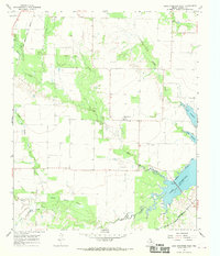
1966 · Lake Stamford West
USGS Topo · 1:24,000
1966 · Irby
USGS Topo · 1:24,000

1967 · Weinert
USGS Topo · 1:24,000