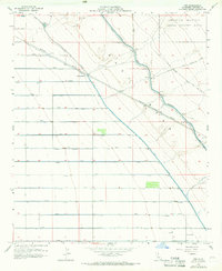
1956 Map of Iris
USGS Topo · Published 1966About this map
Flowing Wells and Iris mark the desert corridor of the Southern Pacific railroad during the mid-1950s. This arid landscape is defined by the massive irrigation infrastructure required to sustain the region, including the Coachella Canal, Main Canal, and the East Highline Canal. The map reveals a complex grid of numbered laterals and drains, such as N Lateral and P Drain, which divert water to the desert floor. To the northeast, the Chocolate Mountain Aerial Gunnery Range occupies the rising terrain, contrasting the industrial water management of the lowlands with military airspace. Utility and transport features like a Filtration Plant, a Water Tank, and siphons along the canal systems illustrate the engineering required to maintain these remote settlements and rail stops.
Find a feature on this map
54 named features on this map. Tap any name to fly to it.
Don’t see what you’re looking for? This feature index may not catch every label — zoom into the map to look around manually.
Map Details
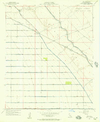
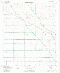
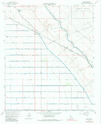
Editions of this 1956 Iris Map
4 editions found
Other maps of this area

1940 · Iris
USGS Topo · 1:62,500

1940 · Frink
USGS Topo · 1:62,500

1940 · Iris Pass
USGS Topo · 1:62,500

1944 · Calipatria
USGS Topo · 1:62,500

1944 · Frink
USGS Topo · 1:62,500

1945 · Iris Pass
USGS Topo · 1:62,500

1945 · Iris
USGS Topo · 1:62,500

1954 · Salton Sea
USGS Topo · 1:250,000

1955 · Tortuga
USGS Topo · 1:24,000

1955 · Salton Sea
USGS Topo · 1:250,000