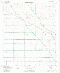
1956 Map of Iris
USGS Topo · Published 1980About this map
Coachella Canal and the East Highline Canal dominate this Imperial County landscape, illustrating the massive mid-century irrigation infrastructure required to transform the desert into productive farmland. The geometric precision of the drainage network, including the Estelle Drain and a sequence of lateral canals from R Lateral to D Lateral, reveals a strictly managed environment where water is the primary architect of the terrain.
Find a feature on this map
32 named features on this map. Tap any name to fly to it.
Don’t see what you’re looking for? This feature index may not catch every label — zoom into the map to look around manually.
Map Details
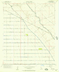
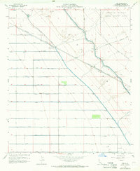
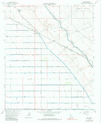
Editions of this 1956 Iris Map
4 editions found
Other maps of this area

1940 · Iris
USGS Topo · 1:62,500

1940 · Frink
USGS Topo · 1:62,500

1940 · Iris Pass
USGS Topo · 1:62,500

1944 · Calipatria
USGS Topo · 1:62,500

1944 · Frink
USGS Topo · 1:62,500

1945 · Iris Pass
USGS Topo · 1:62,500

1945 · Iris
USGS Topo · 1:62,500

1954 · Salton Sea
USGS Topo · 1:250,000

1955 · Tortuga
USGS Topo · 1:24,000

1955 · Salton Sea
USGS Topo · 1:250,000