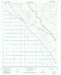
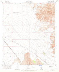
1956 Map of Iris
USGS Topo · Published 1984About this map
The arid expanse of the Imperial Valley meets the foothills of the Chocolate Mountain range in this mid-century survey. The landscape is defined by the rigid geometry of agricultural infrastructure, where the Coachella Canal and East Highline Canal provide the lifeblood for the surrounding desert. These massive waterworks, including several siphons such as Siphon 6, underscore the scale of human engineering required to reclaim this low-lying terrain, much of which sits at or below Sea Level.
Find a feature on this map
63 named features on this map. Tap any name to fly to it.
Don’t see what you’re looking for? This feature index may not catch every label — zoom into the map to look around manually.
Map Details
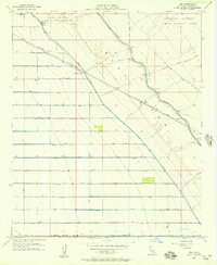
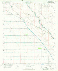
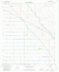
Editions of this 1956 Iris Map
4 editions found
Other maps of this area
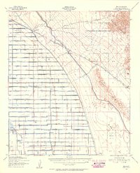
1940 · Iris
USGS Topo · 1:62,500
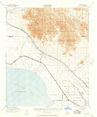
1940 · Frink
USGS Topo · 1:62,500
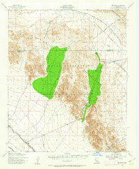
1940 · Iris Pass
USGS Topo · 1:62,500
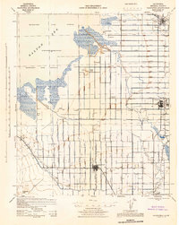
1944 · Calipatria
USGS Topo · 1:62,500
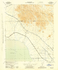
1944 · Frink
USGS Topo · 1:62,500
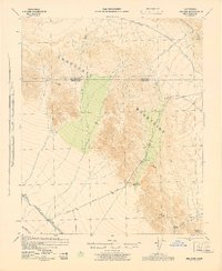
1945 · Iris Pass
USGS Topo · 1:62,500
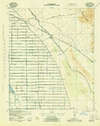
1945 · Iris
USGS Topo · 1:62,500
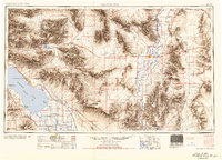
1954 · Salton Sea
USGS Topo · 1:250,000
1955 · Tortuga
USGS Topo · 1:24,000

1955 · Salton Sea
USGS Topo · 1:250,000