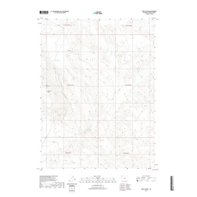
2019 Map of Irish Canyon
USGS Topo · Published 2019About this map
Irish Canyon carves a significant path through this portion of Moffat County, flanked by the prominent elevations of Limestone Ridge and Cold Spring Mtn. This high-desert landscape is defined by its drainage systems, most notably Vermillion Cr, which meanders through the southern and central sections of the quadrangle. The presence of Irish Lakes in the northwest provides a rare point of standing water in an otherwise arid terrain dominated by seasonal drainages like Dry Cr. Access through this remote territory is maintained by primitive corridors such as Co RD 10n and Co RD 169, which follow the natural contours of the canyon floor and surrounding plateaus. The map clearly delineates the complex topography of Blue Hill, offering a detailed look at the landform relief before it descends toward the creek beds.
Find a feature on this map
15 named features on this map. Tap any name to fly to it.
Don’t see what you’re looking for? This feature index may not catch every label — zoom into the map to look around manually.
Map Details
Editions of this 2019 Irish Canyon Map
This is the sole edition of this map. No revisions or reprints were ever made.
Other maps of this area

1954 · Vernal
USGS Topo · 1:250,000

1958 · Vernal
USGS Topo · 1:250,000

1960 · Vernal
USGS Topo · 1:250,000
1966 · G Spring
USGS Topo · 1:24,000
1966 · Sugarloaf Butte
USGS Topo · 1:24,000
1966 · Big Joe Basin
USGS Topo · 1:24,000
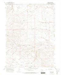
1966 · Sparks
USGS Topo · 1:24,000
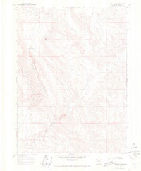
1966 · Irish Canyon
USGS Topo · 1:24,000
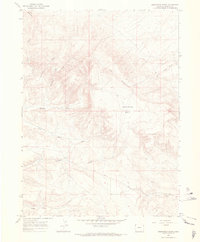
1966 · Sheephead Basin
USGS Topo · 1:24,000
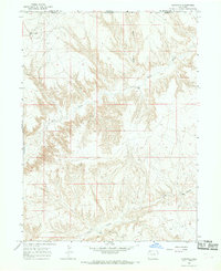
1966 · Hiawatha
USGS Topo · 1:24,000