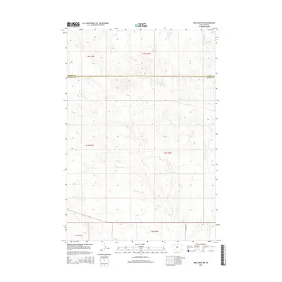
2015 Map of Irish Creek NW
USGS Topo · Published 2015About this map
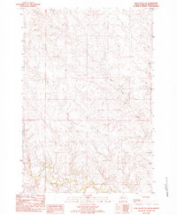
Irish Creek winds through the rolling prairie of the Corson County and Ziebach County border, defining the drainage patterns of this sparsely settled South Dakota landscape. The terrain is marked by the branching tributaries of Archambault Creek and a network of section-line divisions characteristic of the Public Land Survey System. In this mid-2010s survey, the area remains primarily open land with limited road development, centered on corridors like Leedom Pike Road and 124th Avenue. The map captures the subtle topography of the Rock Creek District, where the elevation changes follow the natural draws and ridges that feed into the local creek systems.
Find a feature on this map
11 named features on this map. Tap any name to fly to it.
Don’t see what you’re looking for? This feature index may not catch every label — zoom into the map to look around manually.
Map Details
Editions of this 2015 Irish Creek NW Map
This is the sole edition of this map. No revisions or reprints were ever made.
Other maps of this area

1953 · McIntosh
USGS Topo · 1:250,000
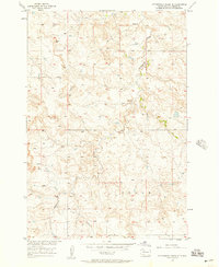
1956 · Cottonwood Creek SE
USGS Topo · 1:24,000
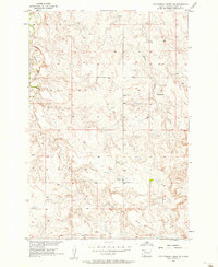
1956 · Cottonwood Creek SW
USGS Topo · 1:24,000

1958 · McIntosh
USGS Topo · 1:250,000
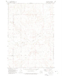
1972 · Twin Butte
USGS Topo · 1:24,000
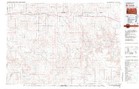
1980 · McIntosh
USGS Topo · 1:100,000
1982 · Glad Valley
USGS Topo · 1:24,000
1982 · Irish Creek SW
USGS Topo · 1:24,000
1982 · Irish Creek NW
USGS Topo · 1:24,000
1982 · Glad Valley SE
USGS Topo · 1:24,000