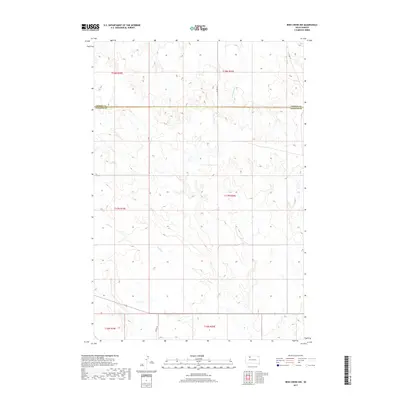
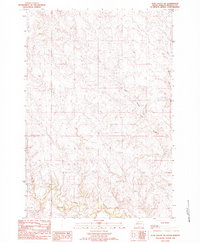
2017 Map of Irish Creek NW
USGS Topo · Published 2017About this map
Archambault Cr and Irish Cr carve through the high plains of the Corson and Ziebach County border in this 2017 survey of South Dakota. The landscape is defined by the Public Land Survey System grid, which organizes the vast open prairie into townships such as t17n r20e and t18n r19e. The terrain is sparsely settled, with transportation limited to established tracks like Co Rd 315 and Dorsey Rd, which cross the undulating drainage basins of the Missouri River watershed. This document captures the modern state of the Cheyenne River Indian Reservation area, where the complex topography of draws and ridges remains largely undeveloped, preserving the character of the northern Great Plains.
Find a feature on this map
11 named features on this map. Tap any name to fly to it.
Don’t see what you’re looking for? This feature index may not catch every label — zoom into the map to look around manually.
Map Details
Editions of this 2017 Irish Creek NW Map
This is the sole edition of this map. No revisions or reprints were ever made.
Other maps of this area

1953 · McIntosh
USGS Topo · 1:250,000
1956 · Cottonwood Creek SE
USGS Topo · 1:24,000
1956 · Cottonwood Creek SW
USGS Topo · 1:24,000

1958 · McIntosh
USGS Topo · 1:250,000
1972 · Twin Butte
USGS Topo · 1:24,000
1980 · McIntosh
USGS Topo · 1:100,000
1982 · Glad Valley
USGS Topo · 1:24,000
1982 · Irish Creek SW
USGS Topo · 1:24,000
1982 · Irish Creek NW
USGS Topo · 1:24,000
1982 · Glad Valley SE
USGS Topo · 1:24,000