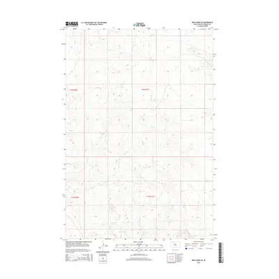
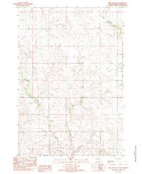
2015 Map of Irish Creek SE
USGS Topo · Published 2015About this map
The drainage patterns of Ziebach County dominate this western South Dakota landscape, showing the subtle topographic relief of the plains in the 2010s. The northern reaches of the quadrangle are defined by Red Earth Cr, while the central and southern sections are shaped by the winding course of Irish Cr and its primary tributary, E Irish Cr. This 2015 data reflects a region characterized by expansive rural land and a lack of concentrated settlements or developed road networks, typical of this portion of the Cheyenne River Indian Reservation. The map provides a detailed view of the Public Land Survey System divisions, including t16n r20e and t15n r21e, which illustrate how the territory was partitioned for grazing and agriculture.
Find a feature on this map
7 named features on this map. Tap any name to fly to it.
Don’t see what you’re looking for? This feature index may not catch every label — zoom into the map to look around manually.
Map Details
Editions of this 2015 Irish Creek SE Map
This is the sole edition of this map. No revisions or reprints were ever made.
Other maps of this area
1951 · Dupree NE
USGS Topo · 1:24,000
1951 · Thunder Butte
USGS Topo · 1:24,000
1952 · Lantry NW
USGS Topo · 1:24,000

1953 · McIntosh
USGS Topo · 1:250,000

1958 · McIntosh
USGS Topo · 1:250,000
1978 · Isabel SW
USGS Topo · 1:24,000
1978 · Isabel
USGS Topo · 1:24,000
1982 · Irish Creek SW
USGS Topo · 1:24,000
1982 · Irish Creek NW
USGS Topo · 1:24,000
1982 · Irish Creek SE
USGS Topo · 1:24,000