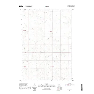
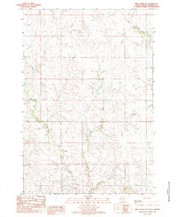
2017 Map of Irish Creek SE
USGS Topo · Published 2017About this map
Irish Creek and its tributary East Irish Creek define the drainage patterns across this section of Ziebach County. The terrain is characterized by the complex dendritic drainage of the Missouri Plateau, where intermittent streams like Red Earth Creek have carved a network of draws and ridges into the landscape. This 2017 survey shows a region almost entirely defined by its natural topography and the Public Land Survey System grid, including boundaries for t16n r21e and t15n r21e. With no major roads or settlements indicated, the map serves as a primary record of the untouched prairie drainage systems that dictate land use and livestock movement in this part of South Dakota.
Find a feature on this map
8 named features on this map. Tap any name to fly to it.
Don’t see what you’re looking for? This feature index may not catch every label — zoom into the map to look around manually.
Map Details
Editions of this 2017 Irish Creek SE Map
This is the sole edition of this map. No revisions or reprints were ever made.
Other maps of this area
1951 · Dupree NE
USGS Topo · 1:24,000
1951 · Thunder Butte
USGS Topo · 1:24,000
1952 · Lantry NW
USGS Topo · 1:24,000

1953 · McIntosh
USGS Topo · 1:250,000

1958 · McIntosh
USGS Topo · 1:250,000
1978 · Isabel SW
USGS Topo · 1:24,000
1978 · Isabel
USGS Topo · 1:24,000
1982 · Irish Creek SW
USGS Topo · 1:24,000
1982 · Irish Creek NW
USGS Topo · 1:24,000
1982 · Irish Creek SE
USGS Topo · 1:24,000