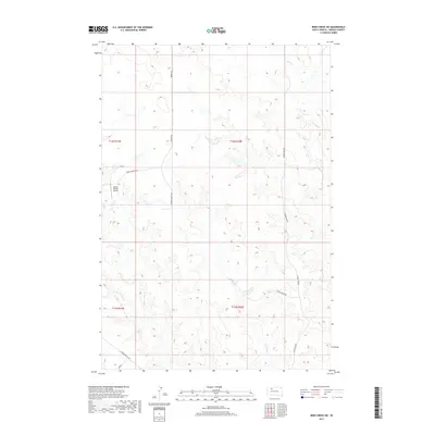
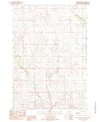
2017 Map of Irish Creek SW
USGS Topo · Published 2017About this map
Irish Cr and its tributaries carve a complex drainage pattern across this Ziebach County landscape, defining the rural character of this northern South Dakota region. The terrain is notably marked by family-run ranching operations, centered around infrastructure like the Dorsey Ranch Airport and a network of arterial roads including Dorsey Rd and Young Ranch Rd. The importance of water management in this arid environment is evident in the meandering paths of Beaver Trap Cr and Sophia Cr, which thread through the township sections. This map reflects a modern era of high-plains agriculture where large-scale ranching and private aviation intersect, providing a clear picture of the land divisions and remote access points such as Leedom Pike Rd and Thunder Butte Rd that support the local economy.
Find a feature on this map
15 named features on this map. Tap any name to fly to it.
Don’t see what you’re looking for? This feature index may not catch every label — zoom into the map to look around manually.
Map Details
Editions of this 2017 Irish Creek SW Map
This is the sole edition of this map. No revisions or reprints were ever made.
Other maps of this area
1951 · Redelm NE
USGS Topo · 1:24,000
1951 · Dupree NE
USGS Topo · 1:24,000
1951 · Thunder Butte
USGS Topo · 1:24,000

1953 · McIntosh
USGS Topo · 1:250,000

1958 · McIntosh
USGS Topo · 1:250,000
1982 · Glad Valley
USGS Topo · 1:24,000
1982 · Irish Creek SW
USGS Topo · 1:24,000
1982 · Irish Creek NW
USGS Topo · 1:24,000
1982 · Glad Valley SE
USGS Topo · 1:24,000
1982 · Irish Creek SE
USGS Topo · 1:24,000