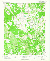
1962 Map of Irish Hill
USGS Topo · Published 1963About this map
Irish Hill and the surrounding Amador County landscape are defined by a complex network of resource extraction and water management in the early 1960s. The terrain is marked by numerous industrial signatures, from the Claypit and Gravel Pit workings near Edwin to the Tailings and various Prospect sites scattered across the hills. The Southern Pacific railroad line cuts through the southwest corner, providing a vital link for the region's mineral and clay output.
Find a feature on this map
41 named features on this map. Tap any name to fly to it.
Don’t see what you’re looking for? This feature index may not catch every label — zoom into the map to look around manually.
Map Details
Editions of this 1962 Irish Hill Map
2 editions found
Other maps of this area

1889 · Jackson
USGS Topo · 1:125,000

1891 · Sacramento
USGS Topo · 1:125,000

1891 · Placerville
USGS Topo · 1:125,000

1892 · Jackson
USGS Topo · 1:125,000

1892 · Sacramento
USGS Topo · 1:125,000

1892 · Placerville
USGS Topo · 1:125,000

1893 · Placerville
USGS Topo · 1:125,000

1893 · Sacramento
USGS Topo · 1:125,000

1894 · Lodi
USGS Topo · 1:125,000

1897 · Jackson
USGS Topo · 1:125,000