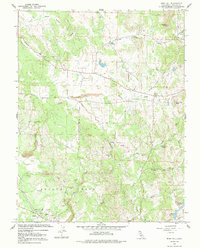
1962 Map of Irish Hill
USGS Topo · Published 1991About this map
Irish Hill and Indian Hill anchor the southern landscape of this 1962 Amador County survey, an area defined by its complex network of seasonal drainages and early industrial activity. The map reveals a transition from the agricultural plains toward the foothills, marked by numerous resource extraction sites like the Claypit and several Gravel Pit locations near Edwin. Transportation and social centers are clearly delineated, including the crossroads at Four Corners and the rural Willow Springs Sch north of Waits Station. Water management is prominent throughout the terrain, from the Henderson Reservoir and Goffinet Reservoir in the southeast to the winding courses of Arroyo Seco, Dry Creek, and Mule Creek. The presence of several Ruins and isolated Grave markers provides critical points of interest for genealogists and local historians tracing the early settlement patterns of the California Gold Country.
Find a feature on this map
30 named features on this map. Tap any name to fly to it.
Don’t see what you’re looking for? This feature index may not catch every label — zoom into the map to look around manually.
Map Details
Editions of this 1962 Irish Hill Map
2 editions found
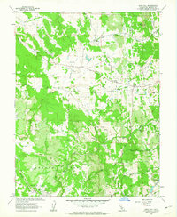
Other maps of this area

1889 · Jackson
USGS Topo · 1:125,000

1891 · Sacramento
USGS Topo · 1:125,000

1891 · Placerville
USGS Topo · 1:125,000

1892 · Jackson
USGS Topo · 1:125,000

1892 · Sacramento
USGS Topo · 1:125,000

1892 · Placerville
USGS Topo · 1:125,000

1893 · Placerville
USGS Topo · 1:125,000

1893 · Sacramento
USGS Topo · 1:125,000

1894 · Lodi
USGS Topo · 1:125,000

1897 · Jackson
USGS Topo · 1:125,000