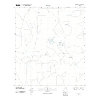
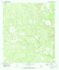
2010 Map of Irishman Hill
USGS Topo · Published 2010About this map
Irishman Hill and Pilot Knob anchor this South Texas landscape, where the Balcones Escarpment's influence is seen in the intricate drainage patterns of the Sabinal River and East Elm Creek. The territory is defined by a ranching and water-management economy, evidenced by several private impoundments including Nunley Lake Number 1 Dam, Nunley Lake Number 2 Dam, and the Rehm Lake Dam. These small-scale water works are vital for sustaining agriculture in a region where seasonal creeks like Blanco Creek and Nolton Creek traverse the undulating terrain.
Find a feature on this map
16 named features on this map. Tap any name to fly to it.
Don’t see what you’re looking for? This feature index may not catch every label — zoom into the map to look around manually.
Map Details
Editions of this 2010 Irishman Hill Map
This is the sole edition of this map. No revisions or reprints were ever made.
Other maps of this area

1898 · Uvalde
USGS Topo · 1:125,000

1899 · Uvalde
USGS Topo · 1:125,000

1928 · Frio Town
USGS Topo · 1:62,500

1954 · San Antonio
USGS Topo · 1:250,000

1956 · Sabinal
USGS Topo · 1:62,500

1957 · San Antonio
USGS Topo · 1:250,000
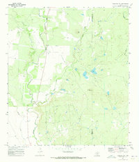
1970 · Irishman Hill
USGS Topo · 1:24,000
1970 · D'hanis
USGS Topo · 1:24,000
1970 · Sabinal
USGS Topo · 1:24,000
1970 · Frio Town NE
USGS Topo · 1:24,000