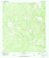
1970 Map of Frio Town NE
USGS Topo · Published 1973About this map
Seco Creek and its tributaries carve through this landscape in Medina County, revealing a rural Texas ranching and resource territory as it was surveyed in the late 1960s. The drainage patterns of West Squirrel Creek and East Squirrel Creek converge here, illustrating the natural water network essential to local land use. Unlike more densely populated regions, this area is defined by its industrial and agricultural utility, featuring scattered wells, a Drill Hole, and a remote Landing Strip. Small-scale extraction is evident through the presence of Gravel Pits and a singular Gravel Pit near the eastern bank of the creeks. The map provides a detailed view of the terrain before later developments, showing the distribution of rural infrastructure and the winding paths of Parkers Creek as it feeds into the larger waterway systems.
Find a feature on this map
11 named features on this map. Tap any name to fly to it.
Don’t see what you’re looking for? This feature index may not catch every label — zoom into the map to look around manually.
Map Details
Editions of this 1970 Frio Town NE Map
2 editions found
Other maps of this area

1928 · Frio Town
USGS Topo · 1:62,500

1954 · San Antonio
USGS Topo · 1:250,000

1956 · Sabinal
USGS Topo · 1:62,500

1956 · New Fountain
USGS Topo · 1:62,500

1957 · San Antonio
USGS Topo · 1:250,000
1964 · Wilson Ranch
USGS Topo · 1:24,000

1964 · Yancey
USGS Topo · 1:24,000
1970 · Irishman Hill
USGS Topo · 1:24,000
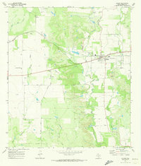
1970 · D'hanis
USGS Topo · 1:24,000
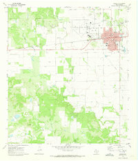
1970 · Hondo
USGS Topo · 1:24,000