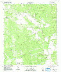
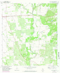
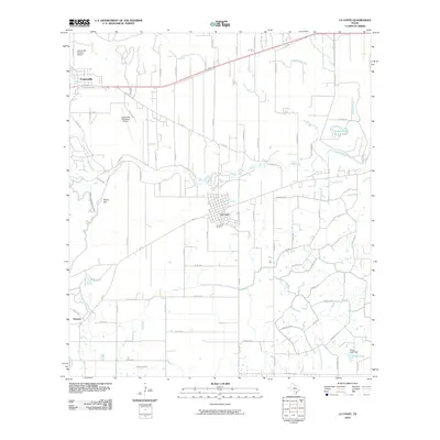
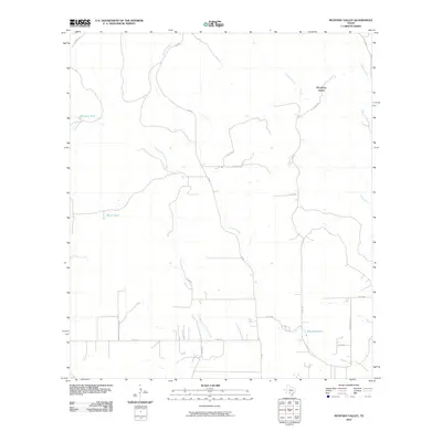
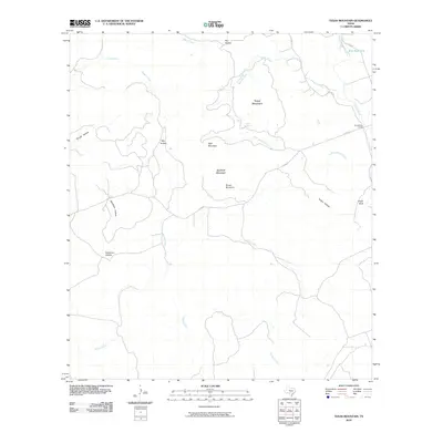
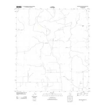
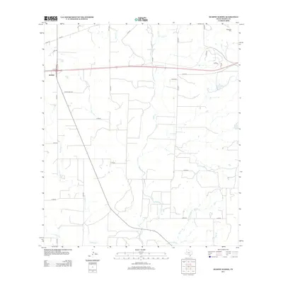
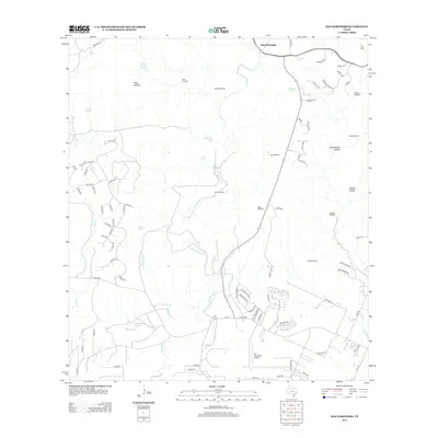
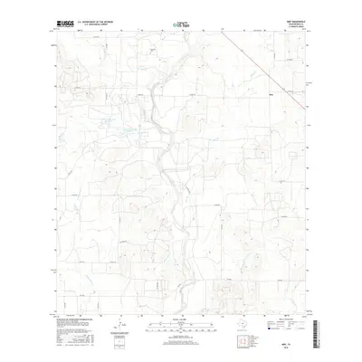
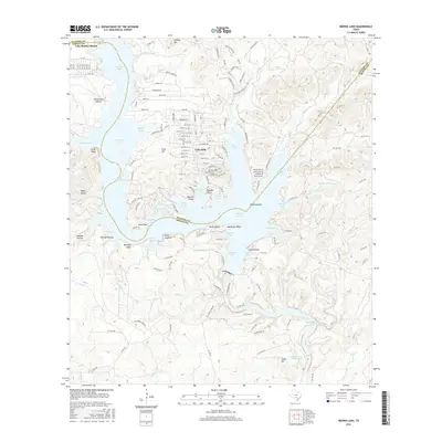
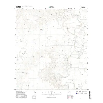
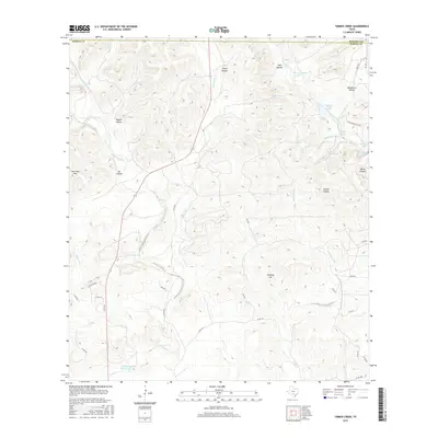
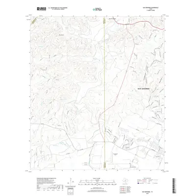
1970 Map of Frio Town NE
USGS Topo · Published 1984About this map
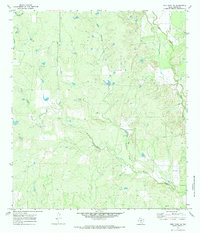
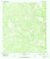
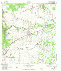
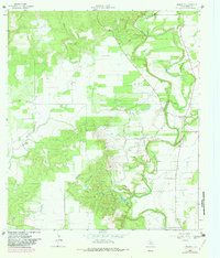
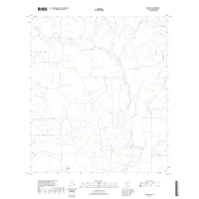
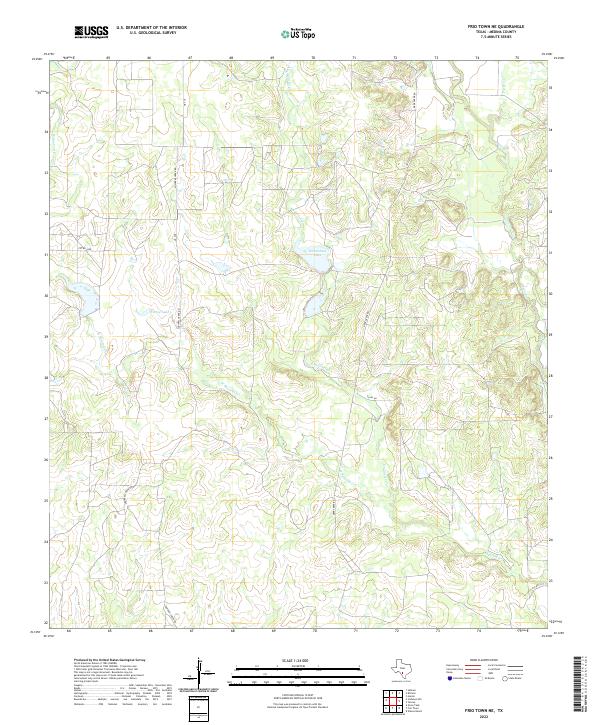
Squirrel Creek and its major tributaries, East Squirrel Creek and West Squirrel Creek, dominate this Medina County landscape as it was documented in 1970. The drainage patterns define the topography of this rural Texas region, where the creeks converge and meander through a series of ridges and draws. Evidence of local industry and infrastructure is sparsely distributed, marked primarily by the presence of several Gravel Pits and an isolated Landing Strip situated on the higher ground between the creek beds. To the east, the terrain is shaped by the presence of Seco Creek and Parkers Creek, illustrating the complex hydrological network of the Frio Town vicinity. Isolated landmarks such as a Drill Hole and occasional wells suggest mineral exploration or water management in this sparsely settled ranching territory.
Find a feature on this map
10 named features on this map. Tap any name to fly to it.
Don’t see what you’re looking for? This feature index may not catch every label — zoom into the map to look around manually.
Map Details
Editions of this 1970 Frio Town NE Map
2 editions found
Historical Maps of Medina County Through Time
87 maps found
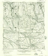
1928 Frio Town
Medina County, TX
1956 New Fountain
Medina County, TX
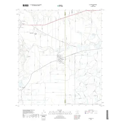
1958 La Coste
Medina County, TX
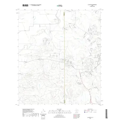
1958 La Coste NE
Medina County, TX
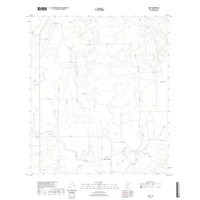
1964 Biry
Medina County, TX
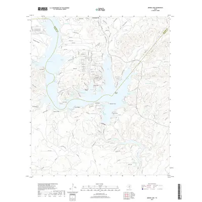
1964 Medina Lake
Medina County, TX
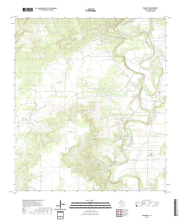
1964 Riomedina
Medina County, TX
1964 Timber Creek
Medina County, TX
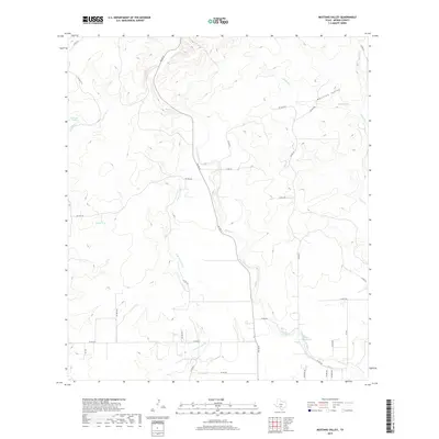
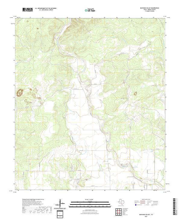
1969 Mustang Valley
Medina County, TX
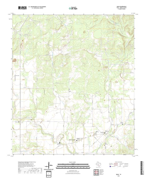
1969 Quihi
Medina County, TX
1969 Sabinal NE
Medina County, TX
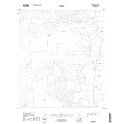
1969 Texas Mountain
Medina County, TX
1969 Twin Hollow
Medina County, TX
1970 D'hanis
Medina County, TX
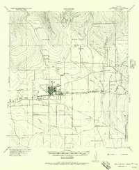
1970 Frio Town NE
Medina County, TX
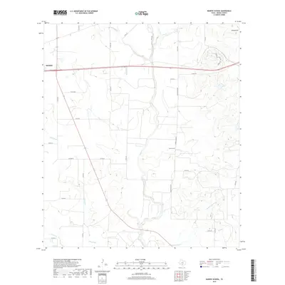
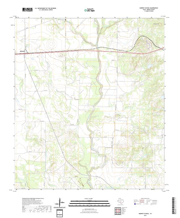
1970 Murphy School
Medina County, TX
1970 San Geronimo
Medina County, TX
2010 Biry
Medina County, TX
2010 Frio Town NE
Medina County, TX
2010 La Coste
Medina County, TX
2010 La Coste NE
Medina County, TX
2010 Medina Lake
Medina County, TX
2010 Murphy School
Medina County, TX
2010 Mustang Valley
Medina County, TX
2010 Quihi
Medina County, TX

2010 Riomedina
Medina County, TX
2010 Sabinal NE
Medina County, TX
2010 San Geronimo
Medina County, TX
2010 Texas Mountain
Medina County, TX
2010 Timber Creek
Medina County, TX
2010 Twin Hollow
Medina County, TX

2012 Biry
Medina County, TX
2012 Frio Town NE
Medina County, TX
2012 Mustang Valley
Medina County, TX
2013 La Coste
Medina County, TX
2013 La Coste NE
Medina County, TX
2013 Medina Lake
Medina County, TX
2013 Murphy School
Medina County, TX
2013 Quihi
Medina County, TX
2013 Riomedina
Medina County, TX
2013 Sabinal NE
Medina County, TX
2013 San Geronimo
Medina County, TX
2013 Texas Mountain
Medina County, TX
2013 Timber Creek
Medina County, TX
2013 Twin Hollow
Medina County, TX
2016 Biry
Medina County, TX
2016 Frio Town NE
Medina County, TX
2016 La Coste
Medina County, TX
2016 La Coste NE
Medina County, TX
2016 Medina Lake
Medina County, TX
2016 Murphy School
Medina County, TX
2016 Mustang Valley
Medina County, TX
2016 Quihi
Medina County, TX
2016 Riomedina
Medina County, TX
2016 Sabinal NE
Medina County, TX
2016 San Geronimo
Medina County, TX
2016 Texas Mountain
Medina County, TX
2016 Timber Creek
Medina County, TX
2016 Twin Hollow
Medina County, TX
2019 Biry
Medina County, TX
2019 Frio Town NE
Medina County, TX
2019 La Coste
Medina County, TX
2019 La Coste NE
Medina County, TX
2019 Medina Lake
Medina County, TX
2019 Murphy School
Medina County, TX
2019 Mustang Valley
Medina County, TX
2019 Quihi
Medina County, TX
2019 Riomedina
Medina County, TX
2019 Sabinal NE
Medina County, TX
2019 San Geronimo
Medina County, TX

2019 Texas Mountain
Medina County, TX
2019 Timber Creek
Medina County, TX
2019 Twin Hollow
Medina County, TX
2022 Biry
Medina County, TX
2022 Frio Town NE
Medina County, TX
2022 La Coste
Medina County, TX
2022 La Coste NE
Medina County, TX
2022 Medina Lake
Medina County, TX
2022 Murphy School
Medina County, TX
2022 Mustang Valley
Medina County, TX
2022 Quihi
Medina County, TX
2022 Riomedina
Medina County, TX
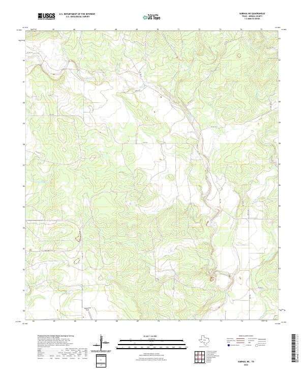
2022 Sabinal NE
Medina County, TX
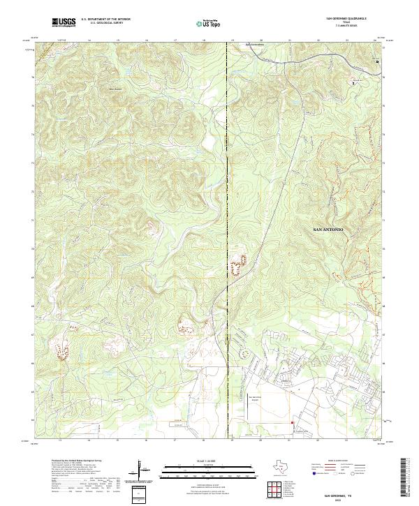
2022 San Geronimo
Medina County, TX
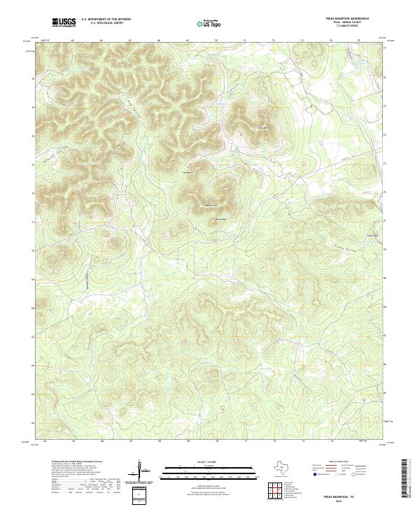
2022 Texas Mountain
Medina County, TX
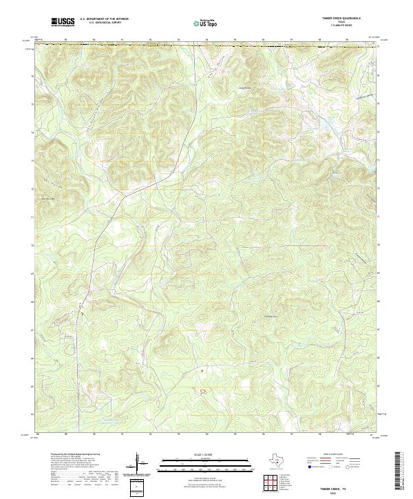
2022 Timber Creek
Medina County, TX
2022 Twin Hollow
Medina County, TX