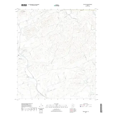
2019 Map of Twin Hollow
USGS Topo · Published 2019About this map
Twin Hollow cuts through the center of this Texas Hill Country terrain, where water remains the primary driver of the landscape's character and naming. In a region where reliable water sources were critical for ranching, the presence of the Mustang Waterhole and the Wide Crossing Waterhole underscores the historical reliance on these natural catchments. The drainage network is complex, featuring Bandera Cr in the northwest and the winding courses of Hondo Cr and Martin Cr in the south, all flowing through a topography defined by significant elevations such as Flag Mtn and the prominent limestone faces of Eagle Bluff and Barnes Bluff. Large landholdings and private access points like Davenport Ranch Rd and numerous numbered private roads suggest a modern landscape still rooted in traditional large-scale ranching and rural homesteads.
Find a feature on this map
41 named features on this map. Tap any name to fly to it.
Don’t see what you’re looking for? This feature index may not catch every label — zoom into the map to look around manually.
Map Details
Editions of this 2019 Twin Hollow Map
This is the sole edition of this map. No revisions or reprints were ever made.
Other maps of this area
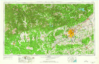
1954 · San Antonio
USGS Topo · 1:250,000
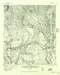
1956 · Sabinal
USGS Topo · 1:62,500
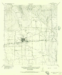
1956 · New Fountain
USGS Topo · 1:62,500
1956 · Tarpley
USGS Topo · 1:62,500
1956 · Bandera
USGS Topo · 1:62,500
1957 · San Antonio
USGS Topo · 1:250,000
1964 · Bandera
USGS Topo · 1:24,000
1964 · Timber Creek
USGS Topo · 1:24,000
1964 · Tarpley
USGS Topo · 1:24,000
1964 · Tarpley Pass
USGS Topo · 1:24,000