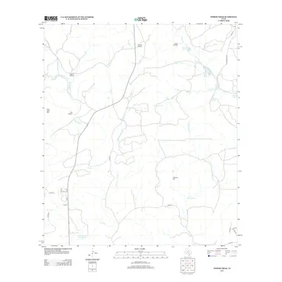
2013 Map of Timber Creek
USGS Topo · Published 2013About this map
Medina Lake anchors the southeastern corner of this landscape, where the Edwards Plateau begins its transition toward the Texas brush country. This 2013 survey illustrates a region defined by its critical water sources and rugged limestone drainage patterns, featuring an extensive network of springs such as Middle Spring, Sheep Spring, and Pecan Grove Spring. These perennial water points have historically dictated land use and settlement in Medina County, supporting cattle ranching and early agriculture long before modern irrigation. Significant topographic landmarks like One Horn Mtn and Chimney Hill rise above the drainage basins of Cypress Cr and the Middle Verde Cr, while the Middle Verde Recharge Lake highlights contemporary efforts in water management. The road network, including the historic Old Castroville Rd, follows the natural contours of the hollows, including Cherry Hollow and Pigpen Hollow.
Find a feature on this map
41 named features on this map. Tap any name to fly to it.
Don’t see what you’re looking for? This feature index may not catch every label — zoom into the map to look around manually.
Map Details
Editions of this 2013 Timber Creek Map
This is the sole edition of this map. No revisions or reprints were ever made.
Other maps of this area
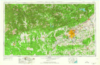
1954 · San Antonio
USGS Topo · 1:250,000
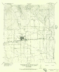
1956 · New Fountain
USGS Topo · 1:62,500
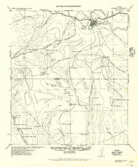
1956 · Bandera
USGS Topo · 1:62,500
1956 · Medina Lake
USGS Topo · 1:62,500
1957 · San Antonio
USGS Topo · 1:250,000
1964 · Riomedina
USGS Topo · 1:24,000
1964 · Bandera
USGS Topo · 1:24,000
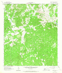
1964 · Timber Creek
USGS Topo · 1:24,000
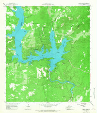
1964 · Medina Lake
USGS Topo · 1:24,000
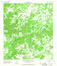
1964 · Tarpley Pass
USGS Topo · 1:24,000