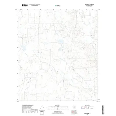
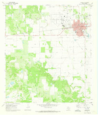
2019 Map of Frio Town NE
USGS Topo · Published 2019About this map
Richardson Lake and Farley Lake sit as prominent water features within this rural section of Medina County. The landscape is defined by an intricate drainage system, where the various branches of Squirrel Creek converge and diverge. The network includes W Squirrel Cr, E Squirrel Cr, and West Squirrel Cr, illustrating a terrain shaped by seasonal water flow and catchment.
Find a feature on this map
15 named features on this map. Tap any name to fly to it.
Don’t see what you’re looking for? This feature index may not catch every label — zoom into the map to look around manually.
Map Details
Editions of this 2019 Frio Town NE Map
This is the sole edition of this map. No revisions or reprints were ever made.
Other maps of this area

1928 · Frio Town
USGS Topo · 1:62,500

1954 · San Antonio
USGS Topo · 1:250,000

1956 · Sabinal
USGS Topo · 1:62,500

1956 · New Fountain
USGS Topo · 1:62,500

1957 · San Antonio
USGS Topo · 1:250,000
1964 · Wilson Ranch
USGS Topo · 1:24,000

1964 · Yancey
USGS Topo · 1:24,000
1970 · Irishman Hill
USGS Topo · 1:24,000
1970 · D'hanis
USGS Topo · 1:24,000
1970 · Hondo
USGS Topo · 1:24,000