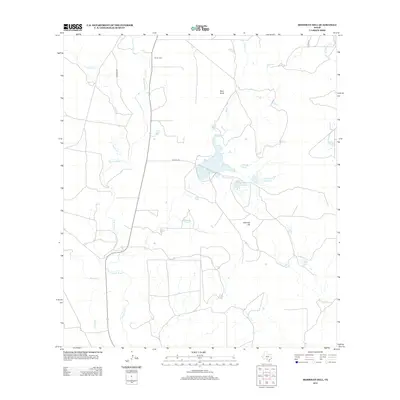
2013 Map of Irishman Hill
USGS Topo · Published 2013About this map
The Sabinal River winds through this landscape in Medina County, anchoring a terrain defined by intermittent creeks and limestone-scoured hills. The area around Irishman Hill and Pilot Knob shows a pattern of rural land use where water management is central, evidenced by several private impoundments including Nunley Lake Number 1, Nunley Lake Number 2, and Rehm Lake. These water bodies and the drainage of E Elm Cr and Nolton Cr suggest the vital role of local hydrology in supporting ranching or agricultural operations in this part of Texas.
Find a feature on this map
14 named features on this map. Tap any name to fly to it.
Don’t see what you’re looking for? This feature index may not catch every label — zoom into the map to look around manually.
Map Details
Editions of this 2013 Irishman Hill Map
This is the sole edition of this map. No revisions or reprints were ever made.
Other maps of this area
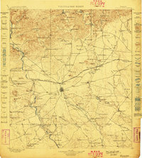
1898 · Uvalde
USGS Topo · 1:125,000
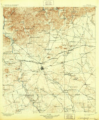
1899 · Uvalde
USGS Topo · 1:125,000
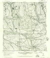
1928 · Frio Town
USGS Topo · 1:62,500
1954 · San Antonio
USGS Topo · 1:250,000
1956 · Sabinal
USGS Topo · 1:62,500
1957 · San Antonio
USGS Topo · 1:250,000
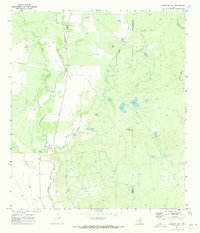
1970 · Irishman Hill
USGS Topo · 1:24,000
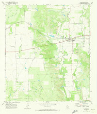
1970 · D'hanis
USGS Topo · 1:24,000
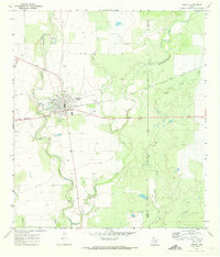
1970 · Sabinal
USGS Topo · 1:24,000
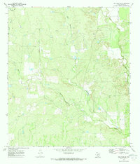
1970 · Frio Town NE
USGS Topo · 1:24,000