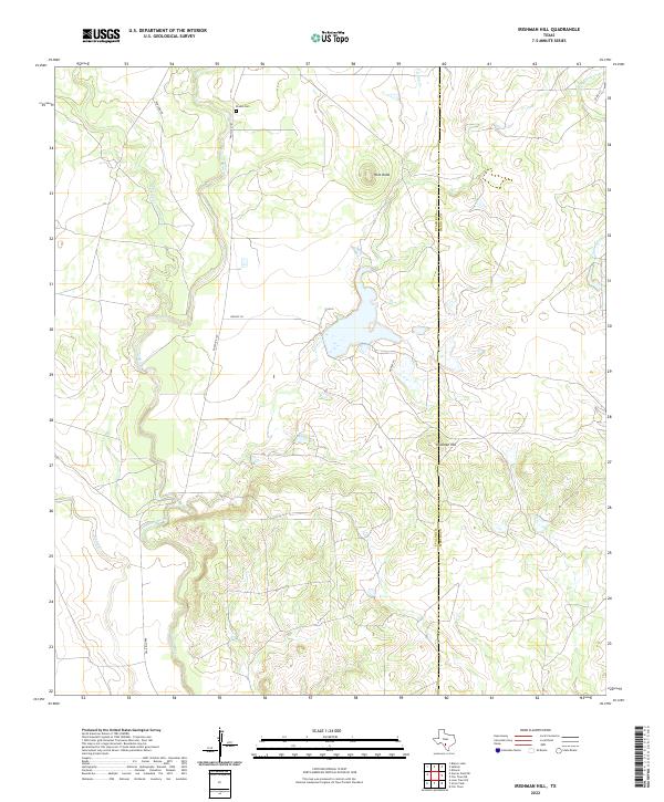
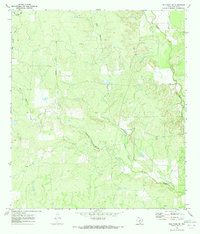
2022 Map of Irishman Hill
USGS Topo · Published 2022About this map
Irishman Hill and the prominent Pilot Knob anchor this South Texas landscape where the Edwards Plateau meets the brush country. The Sabinal River winds through the western half of the quadrangle, joined by several seasonal drainages including Nolton Cr and Blanco Cr. For genealogists and local historians, the Brown Cem sits along Ranch Rd 187, offering a specific point of interest for family research in this rural corridor. The area is characterized by large land tracts connected by private routes like Nunley Ln and Hunley Ln, centered around the transition between the rolling uplands and the river valley. The eastern edge is defined by the Uvalde and Medina County line, crossing the watershed of E Elm Cr and the waters of Rehm Lake.
Find a feature on this map
15 named features on this map. Tap any name to fly to it.
Don’t see what you’re looking for? This feature index may not catch every label — zoom into the map to look around manually.
Map Details
Editions of this 2022 Irishman Hill Map
This is the sole edition of this map. No revisions or reprints were ever made.
Other maps of this area

1898 · Uvalde
USGS Topo · 1:125,000

1899 · Uvalde
USGS Topo · 1:125,000

1928 · Frio Town
USGS Topo · 1:62,500

1954 · San Antonio
USGS Topo · 1:250,000

1956 · Sabinal
USGS Topo · 1:62,500

1957 · San Antonio
USGS Topo · 1:250,000
1970 · Irishman Hill
USGS Topo · 1:24,000
1970 · D'hanis
USGS Topo · 1:24,000
1970 · Sabinal
USGS Topo · 1:24,000
1970 · Frio Town NE
USGS Topo · 1:24,000