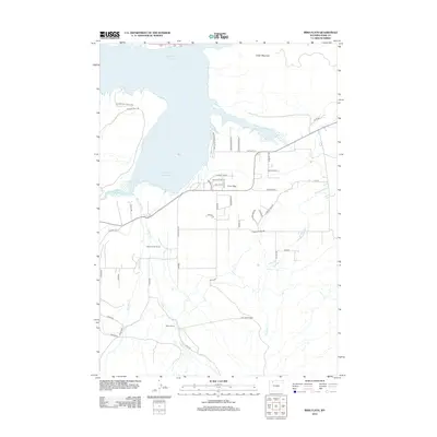
2012 Map of Irma Flats
USGS Topo · Published 2012About this map
Buffalo Bill Reservoir dominates the northern landscape of this region west of Cody, where the S Fork Shoshone River feeds into the expansive blue of the impoundment. The terrain transitions from the shoreline of Buffalo Bill State Park to the elevated heights of Cedar Mountain. This 2012 survey illustrates a modern rural residential and ranching pattern, characterized by established holdings like Diamond Bar Ranch and Carter Ranch along the southern drainage of Carter Cr.
Find a feature on this map
44 named features on this map. Tap any name to fly to it.
Don’t see what you’re looking for? This feature index may not catch every label — zoom into the map to look around manually.
Map Details
Editions of this 2012 Irma Flats Map
This is the sole edition of this map. No revisions or reprints were ever made.
Other maps of this area
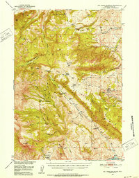
1949 · Pat O'Hara Mountain
USGS Topo · 1:62,500
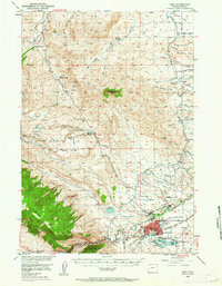
1949 · Cody
USGS Topo · 1:62,500
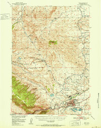
1951 · Cody
USGS Topo · 1:62,500

1955 · Cody
USGS Topo · 1:250,000
1957 · Wapiti
USGS Topo · 1:62,500
1957 · Devils Tooth
USGS Topo · 1:62,500

1958 · Cody
USGS Topo · 1:250,000

1962 · Cody
USGS Topo · 1:250,000
1980 · Carter Mountain
USGS Topo · 1:100,000
1980 · Cody
USGS Topo · 1:100,000