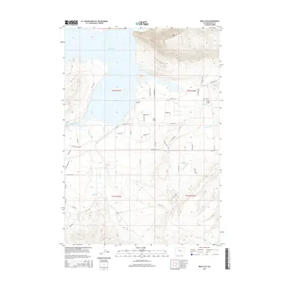
2015 Map of Irma Flats
USGS Topo · Published 2015About this map
Irma Flats is situated along the transitional terrain where the Southfork Rd corridor meets the eastern reach of the Buffalo Bill Reservoir. This 2015 topography shows a landscape defined by water management and high-desert drainage, centered on the flow of the South Fork Shoshone River as it enters the reservoir basin. Significant elevation changes are marked by the presence of Cedar Mtn to the north and the rising slopes of Carter Mountain Rd to the southwest.
Find a feature on this map
46 named features on this map. Tap any name to fly to it.
Don’t see what you’re looking for? This feature index may not catch every label — zoom into the map to look around manually.
Map Details
Editions of this 2015 Irma Flats Map
This is the sole edition of this map. No revisions or reprints were ever made.
Other maps of this area
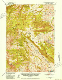
1949 · Pat O'Hara Mountain
USGS Topo · 1:62,500
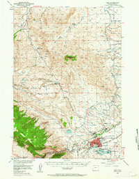
1949 · Cody
USGS Topo · 1:62,500
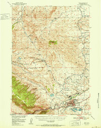
1951 · Cody
USGS Topo · 1:62,500

1955 · Cody
USGS Topo · 1:250,000
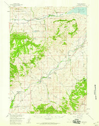
1957 · Wapiti
USGS Topo · 1:62,500
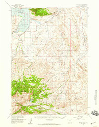
1957 · Devils Tooth
USGS Topo · 1:62,500

1958 · Cody
USGS Topo · 1:250,000

1962 · Cody
USGS Topo · 1:250,000
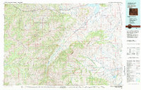
1980 · Carter Mountain
USGS Topo · 1:100,000
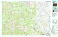
1980 · Cody
USGS Topo · 1:100,000