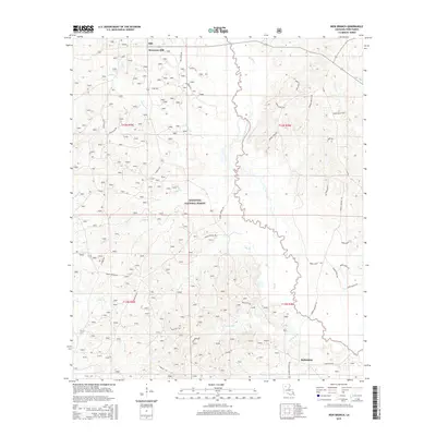
2015 Map of Iron Branch
USGS Topo · Published 2015About this map
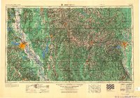
Brewtons Mill and the surrounding woodlands of Winn Parish are defined by the winding course of the Dugdemona River, which carves a distinct boundary through the center of this landscape. In this part of Louisiana, the terrain is characterized by a dense network of watercourses, including Iron Branch, Cypress Cr, and Brushy Cr, many of which feed into the primary river valley. Much of the western half of the map is protected within the Kisatchie National Forest, showing the region's long-standing reliance on timber and natural resource management.
Find a feature on this map
45 named features on this map. Tap any name to fly to it.
Don’t see what you’re looking for? This feature index may not catch every label — zoom into the map to look around manually.
Map Details
Editions of this 2015 Iron Branch Map
This is the sole edition of this map. No revisions or reprints were ever made.
Other maps of this area
1947 · Goldonna
USGS Topo · 1:62,500
1949 · Calvin NE
USGS Topo · 1:31,680
1949 · Calvin NW
USGS Topo · 1:31,680
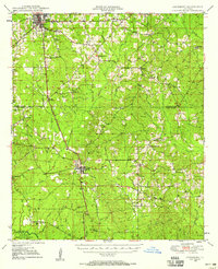
1949 · Jonesboro
USGS Topo · 1:62,500
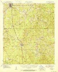
1950 · Jonesboro
USGS Topo · 1:62,500
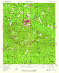
1950 · Winnfield
USGS Topo · 1:62,500
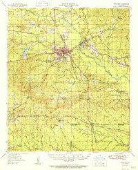
1951 · Winnfield
USGS Topo · 1:62,500

1953 · Alexandria
USGS Topo · 1:250,000
1955 · Shreveport
USGS Topo · 1:250,000

1955 · Alexandria
USGS Topo · 1:250,000