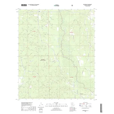
2018 Map of Iron Branch
USGS Topo · Published 2018About this map
The Dugdemona River snakes through the heart of the Kisatchie National Forest in this 2018 survey of Winn Parish. The landscape is defined by a dense network of watercourses, including Iron Branch, Cypress Cr, and Caney Cr, which feed the wetlands and bottomlands of north-central Louisiana. Small settlements like Bethlehem and Mill anchor a rural infrastructure comprised of parish roads and forest service tracks. Long-established thoroughfares such as Yankee Springs Rd, Carter Crossing Rd, and Gum Springs Rd cut through the timbered terrain, reflecting a local geography built around timber management and the natural drainage of the river basin. Family-named routes like Willard Taylor Rd and Homer Martin Rd suggest the enduring local lineages within these forest boundaries.
Find a feature on this map
42 named features on this map. Tap any name to fly to it.
Don’t see what you’re looking for? This feature index may not catch every label — zoom into the map to look around manually.
Map Details
Editions of this 2018 Iron Branch Map
This is the sole edition of this map. No revisions or reprints were ever made.
Other maps of this area
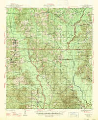
1947 · Goldonna
USGS Topo · 1:62,500
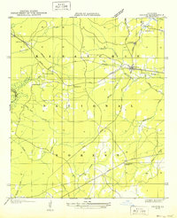
1949 · Calvin NE
USGS Topo · 1:31,680
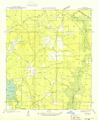
1949 · Calvin NW
USGS Topo · 1:31,680
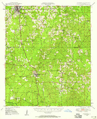
1949 · Jonesboro
USGS Topo · 1:62,500
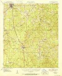
1950 · Jonesboro
USGS Topo · 1:62,500
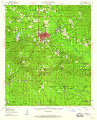
1950 · Winnfield
USGS Topo · 1:62,500
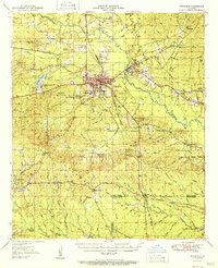
1951 · Winnfield
USGS Topo · 1:62,500

1953 · Alexandria
USGS Topo · 1:250,000
1955 · Shreveport
USGS Topo · 1:250,000

1955 · Alexandria
USGS Topo · 1:250,000