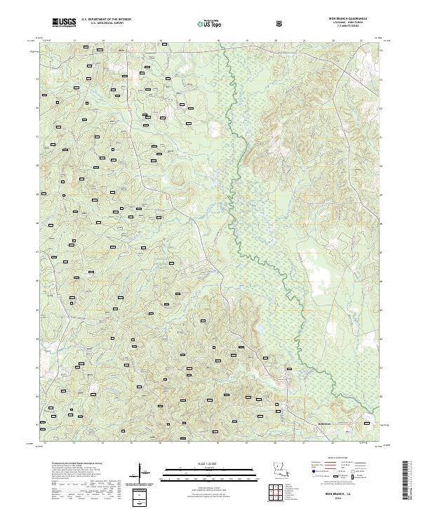
2024 Map of Iron Branch
USGS Topo · Published 2024About this map
Kisatchie National Forest dominates this section of Winn Parish, where the landscape is defined by the winding course of Brushy Creek and its many tributaries. The area is a mosaic of timberlands and low-lying wetlands, eventually draining south toward the Dugdemona River. Human activity is concentrated along a network of rural roads named for local families and landmarks, such as Sam Taylor Rd and Maude Guthrie Rd, reflecting the deep-rooted genealogical history of the region.
Find a feature on this map
45 named features on this map. Tap any name to fly to it.
Don’t see what you’re looking for? This feature index may not catch every label — zoom into the map to look around manually.
Map Details
Editions of this 2024 Iron Branch Map
This is the sole edition of this map. No revisions or reprints were ever made.
Other maps of this area

1947 · Goldonna
USGS Topo · 1:62,500

1949 · Calvin NE
USGS Topo · 1:31,680

1949 · Calvin NW
USGS Topo · 1:31,680

1949 · Jonesboro
USGS Topo · 1:62,500

1950 · Jonesboro
USGS Topo · 1:62,500

1950 · Winnfield
USGS Topo · 1:62,500

1951 · Winnfield
USGS Topo · 1:62,500

1953 · Alexandria
USGS Topo · 1:250,000

1955 · Shreveport
USGS Topo · 1:250,000

1955 · Alexandria
USGS Topo · 1:250,000