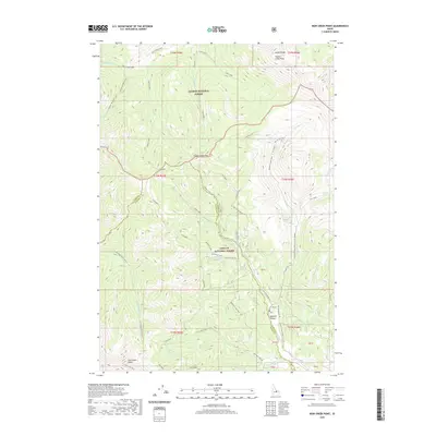
2020 Map of Iron Creek Point
USGS Topo · Published 2020About this map
Iron Creek Point dominates the southwestern corner of this survey, standing at the intersection of the Salmon National Forest and Challis National Forest. This high-altitude terrain in the Lemhi Range is defined by a network of drainage systems and seasonal waterways, including the S Fork Big Creek-Iron Cr and Big Timber Creek. The map documents a landscape of dramatic elevation changes, where features like Timber Creek Pass and Timber Creek Peak serve as primary landmarks for navigation between deep canyons.
Find a feature on this map
52 named features on this map. Tap any name to fly to it.
Don’t see what you’re looking for? This feature index may not catch every label — zoom into the map to look around manually.
Map Details
Editions of this 2020 Iron Creek Point Map
This is the sole edition of this map. No revisions or reprints were ever made.
Other maps of this area

1935 · Borah Peak
USGS Topo · 1:125,000

1938 · Borah Peak
USGS Topo · 1:125,000

1955 · Dubois
USGS Topo · 1:250,000

1956 · Leadore
USGS Topo · 1:62,500

1956 · Patterson
USGS Topo · 1:62,500

1956 · Donkey Hills
USGS Topo · 1:62,500

1957 · Gilmore
USGS Topo · 1:62,500

1958 · Dubois
USGS Topo · 1:250,000

1980 · Leadore
USGS Topo · 1:100,000

1987 · Gilmore
USGS Topo · 1:24,000