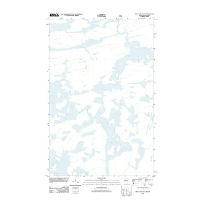
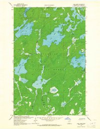
2011 Map of Iron Lake OE N
USGS Topo · Published 2011About this map
Lac la Croix anchors the southwest corner of this northern borderland survey, where an intricate network of waterways and islands defines the boundary between Minnesota and Ontario. The landscape is dominated by complex lake systems, with Bottle Lake and Iron Lake providing critical connection points for navigation through this water-rich territory. Produced by the U.S. Geological Survey and the U.S. Forest Service, the map documents a region where terrestrial landforms are often secondary to the vast expansive surface of the water, reflecting the specialized geography of the Rainy River District and its surroundings. The lack of terrestrial roads or settlements underscores a wilderness character where the primary transit corridors are the historic portages and shorelines themselves.
Find a feature on this map
3 named features on this map. Tap any name to fly to it.
Don’t see what you’re looking for? This feature index may not catch every label — zoom into the map to look around manually.
Map Details
Editions of this 2011 Iron Lake OE N Map
This is the sole edition of this map. No revisions or reprints were ever made.
Other maps of this area

1954 · International Falls
USGS Topo · 1:250,000

1957 · International Falls
USGS Topo · 1:250,000

1957 · Quetico
USGS Topo · 1:250,000

1958 · International Falls
USGS Topo · 1:250,000
1963 · Coleman Island
USGS Topo · 1:24,000
1963 · Friday Bay
USGS Topo · 1:24,000
1963 · Iron Lake
USGS Topo · 1:24,000
1963 · Lake Agnes
USGS Topo · 1:24,000

1968 · Quetico
USGS Topo · 1:250,000

1977 · Basswood Lake
USGS Topo · 1:100,000