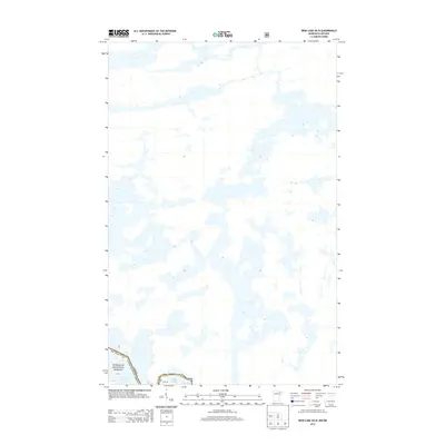
2013 Map of Iron Lake OE N
USGS Topo · Published 2013About this map
Lac la Croix and the interconnected waters of Iron Lake dominate this remote northern boundary landscape within the Superior National Forest. Located along the international border between Canada and the United States of America, the map captures a labyrinthine network of lakes and inlets in the early 21st century. The geography is defined by the sinuous boundary line that weaves through Bottle Lake and open water, marking the edge of St. Louis County in Minnesota. This specific sheet provides a detailed look at the complex hydrography of the Boundary Waters region before any further modern development, highlighting the protected wilderness status under the Snf designation.
Find a feature on this map
9 named features on this map. Tap any name to fly to it.
Don’t see what you’re looking for? This feature index may not catch every label — zoom into the map to look around manually.
Map Details
Editions of this 2013 Iron Lake OE N Map
This is the sole edition of this map. No revisions or reprints were ever made.
Other maps of this area

1954 · International Falls
USGS Topo · 1:250,000

1957 · International Falls
USGS Topo · 1:250,000
1957 · Quetico
USGS Topo · 1:250,000

1958 · International Falls
USGS Topo · 1:250,000
1963 · Coleman Island
USGS Topo · 1:24,000
1963 · Friday Bay
USGS Topo · 1:24,000
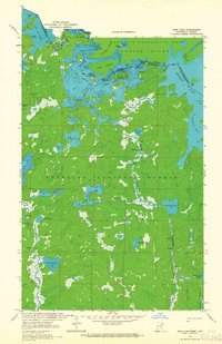
1963 · Iron Lake
USGS Topo · 1:24,000
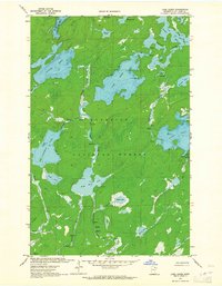
1963 · Lake Agnes
USGS Topo · 1:24,000
1968 · Quetico
USGS Topo · 1:250,000
1977 · Basswood Lake
USGS Topo · 1:100,000