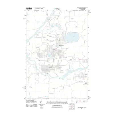
2011 Map of Iron Mountain
USGS Topo · Published 2011About this map
The industrial and recreational landscape of the Michigan-Wisconsin border is centered here on the Iron Mountain and Kingsford urban core. This area, long defined by its mineral wealth, shows the legacy of the Chapin Mine sitting near the heart of the city, while the newer civic infrastructure like Ford Airport and the Iron Mountain Post Office mark its 21st-century development. The Menominee River serves as the winding natural boundary between states, punctuated by the Ford Dam Falls and the churning Horse Race Rapids.
Find a feature on this map
128 named features on this map. Tap any name to fly to it.
Don’t see what you’re looking for? This feature index may not catch every label — zoom into the map to look around manually.
Map Details
Editions of this 2011 Iron Mountain Map
This is the sole edition of this map. No revisions or reprints were ever made.
Other maps of this area

1939 · Pembine
USGS Topo · 1:48,000

1939 · Dunbar
USGS Topo · 1:48,000

1939 · Iron Mountain
USGS Topo · 1:48,000

1941 · Dunbar
USGS Topo · 1:48,000

1941 · Iron Mountain
USGS Topo · 1:48,000

1947 · Pembine
USGS Topo · 1:48,000

1947 · Dunbar
USGS Topo · 1:48,000

1947 · Iron Mountain
USGS Topo · 1:48,000
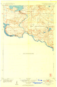
1949 · Commonwealth
USGS Topo · 1:24,000

1954 · Iron Mountain
USGS Topo · 1:250,000