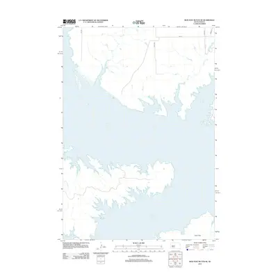
2012 Map of Iron Post Buttes SE
USGS Topo · Published 2012About this map
Lake Oahe dominates the landscape of this region in Hughes County, creating an intricate shoreline of deep inlets and points where the prairie meets the Missouri River reservoir. The geography is defined by a series of drainage systems that flow toward the reservoir, including Sully Cr, Dry Cr, and Red Woman Cr. To the southeast, the level terrain of Peoria Flats provides a contrast to the rugged, dissected breaks along the water's edge. This modern digital survey reflects the rural, sparsely populated nature of the area, where the section-line road network, including 279th Ave and 191st St, navigates the complex hydrology of the Missouri River valley.
Find a feature on this map
11 named features on this map. Tap any name to fly to it.
Don’t see what you’re looking for? This feature index may not catch every label — zoom into the map to look around manually.
Map Details
Editions of this 2012 Iron Post Buttes SE Map
This is the sole edition of this map. No revisions or reprints were ever made.
Other maps of this area

1924 · Pierre
USGS Topo · 1:62,500

1937 · Oahe
USGS Topo · 1:62,500

1954 · Pierre
USGS Topo · 1:250,000

1958 · Pierre
USGS Topo · 1:250,000

1965 · Okobojo
USGS Topo · 1:24,000
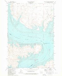
1973 · Iron Post Buttes SE
USGS Topo · 1:24,000

1973 · Iron Post Buttes SW
USGS Topo · 1:24,000

1973 · Iron Post Buttes
USGS Topo · 1:24,000
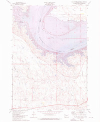
1973 · Willow Creek Butte
USGS Topo · 1:24,000
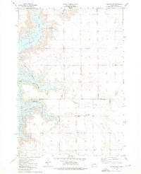
1973 · Okobojo SW
USGS Topo · 1:24,000