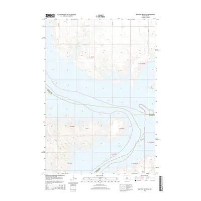
2015 Map of Iron Post Buttes SE
USGS Topo · Published 2015About this map
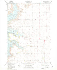
Lake Oahe dominates this landscape, where the inundated valley of the Missouri River defines the convergence of Sully, Stanley, and Hughes Counties. The expansive water body has reshaped the local geography, flooding the lower reaches of seasonal drainages like Sully Cr, Plum Cr, and Red Woman Cr. In the southern portion of the sheet, the level terrain of Peoria Flats provides a stark contrast to the intricate, eroded breaks and fingers of land that reach into the reservoir. This modern survey illustrates the intersection of rural infrastructure and significant hydraulic engineering, with the local road network—including the descriptively named Gumbo Rd—navigating the high ground above the Missouri's contemporary shoreline.
Find a feature on this map
24 named features on this map. Tap any name to fly to it.
Don’t see what you’re looking for? This feature index may not catch every label — zoom into the map to look around manually.
Map Details
Editions of this 2015 Iron Post Buttes SE Map
This is the sole edition of this map. No revisions or reprints were ever made.
Other maps of this area
1924 · Pierre
USGS Topo · 1:62,500
1937 · Oahe
USGS Topo · 1:62,500

1954 · Pierre
USGS Topo · 1:250,000

1958 · Pierre
USGS Topo · 1:250,000
1965 · Okobojo
USGS Topo · 1:24,000
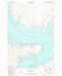
1973 · Iron Post Buttes SE
USGS Topo · 1:24,000
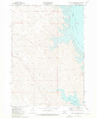
1973 · Iron Post Buttes SW
USGS Topo · 1:24,000
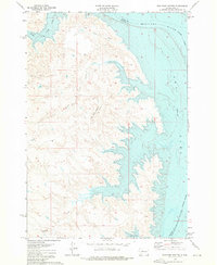
1973 · Iron Post Buttes
USGS Topo · 1:24,000
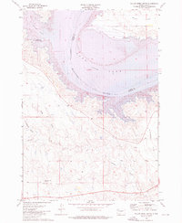
1973 · Willow Creek Butte
USGS Topo · 1:24,000
1973 · Okobojo SW
USGS Topo · 1:24,000