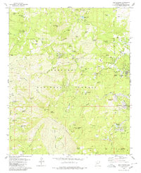
1979 Map of Iron Springs
USGS Topo · Published 1980About this map
Iron Springs sits at the heart of this landscape, serving as a hub for the various springs and water sources that define the region west of Prescott. The terrain is dominated by the steep rises of the Sierra Prieta and peaks such as Granite Mountain and West Spruce Mtn. This area in the late 1970s shows a mix of recreational and industrial use, with the Girl Scout Camp and Granite Basin Picnic Area positioned near the heights, while the Boston Arizona Mine and several Borrow Pits suggest a history of resource extraction. The presence of an Old RR Grade winding through the hills near Willow Creek points to the area's former transportation network, now largely replaced by access roads for the Prescott National Forest. Notable landmarks like Thumb Butte and Williams Peak provide orientation across the network of washes and canyons including Iron Springs Wash.
Find a feature on this map
68 named features on this map. Tap any name to fly to it.
Don’t see what you’re looking for? This feature index may not catch every label — zoom into the map to look around manually.
Map Details
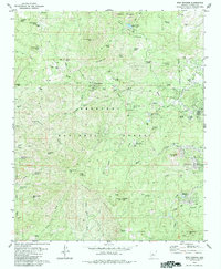
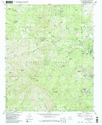
Editions of this 1979 Iron Springs Map
3 editions found
Other maps of this area

1887 · Prescott
USGS Topo · 1:250,000

1892 · Prescott
USGS Topo · 1:250,000

1903 · Bradshaw Mountains
USGS Topo · 1:125,000

1903 · Congress
USGS Topo · 1:125,000

1904 · Congress
USGS Topo · 1:125,000

1905 · Jerome
USGS Topo · 1:125,000

1947 · Iron Springs
USGS Topo · 1:62,500

1947 · Mt. Union
USGS Topo · 1:62,500

1947 · Kirkland
USGS Topo · 1:62,500

1947 · Prescott
USGS Topo · 1:62,500