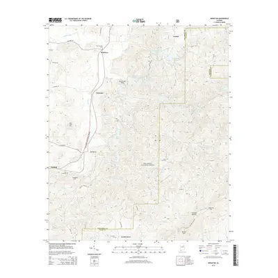
2014 Map of Ironaton
USGS Topo · Published 2014About this map
The Talladega National Forest encompasses much of this terrain, where the crest of Talladega Mountain divides the landscape. Historical markers such as the Chief Chenneby Grave near McElderry anchor the area's deep local history, while scattered settlements like Chinnabee, Ironaton, and Gunthertown define the valley floors. The drainage pattern is complex, with Fayne Cr and Horse Cr cutting through the ridges, supported by numerous small reservoirs including Lake Robin and Lake Chinnabee.
Find a feature on this map
52 named features on this map. Tap any name to fly to it.
Don’t see what you’re looking for? This feature index may not catch every label — zoom into the map to look around manually.
Map Details
Editions of this 2014 Ironaton Map
This is the sole edition of this map. No revisions or reprints were ever made.
Other maps of this area

1889 · Springville
USGS Topo · 1:125,000

1890 · Talladega
USGS Topo · 1:125,000

1891 · Ashland
USGS Topo · 1:125,000

1892 · Springville
USGS Topo · 1:125,000

1892 · Talladega
USGS Topo · 1:125,000

1900 · Anniston
USGS Topo · 1:125,000

1943 · Talladega
USGS Topo · 1:62,500

1946 · Talladega
USGS Topo · 1:62,500

1947 · Oxford
USGS Topo · 1:24,000

1947 · Eastaboga
USGS Topo · 1:24,000