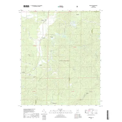
2018 Map of Ironaton
USGS Topo · Published 2018About this map
Ironaton and Chinnabee anchor this 2018 survey of the Alabama ridge-and-valley country, where the Talladega National Forest covers much of the eastern terrain. This modern topographic record is significant for genealogists and local historians as it documents numerous burial sites and small settlements, including the Chief Chenneby Grave near McElderry and the Providence Cem at Gunthertown. The landscape is defined by the high elevations of Talladega Mountain and Gun Flint Mtn, separated by the Horse Creek Valley. Recreational features are prominent in the eastern sector, where the Pinhoți NRT and Skyway Loop Hiking Trail traverse the forest near Patterson Gap and Lake Chinnabee. The drainage patterns of Cheaha Creek and Fayne Cr illustrate the complex hydrography that has shaped settlement patterns here for generations.
Find a feature on this map
63 named features on this map. Tap any name to fly to it.
Don’t see what you’re looking for? This feature index may not catch every label — zoom into the map to look around manually.
Map Details
Editions of this 2018 Ironaton Map
This is the sole edition of this map. No revisions or reprints were ever made.
Other maps of this area

1889 · Springville
USGS Topo · 1:125,000

1890 · Talladega
USGS Topo · 1:125,000

1891 · Ashland
USGS Topo · 1:125,000

1892 · Springville
USGS Topo · 1:125,000

1892 · Talladega
USGS Topo · 1:125,000

1900 · Anniston
USGS Topo · 1:125,000

1943 · Talladega
USGS Topo · 1:62,500

1946 · Talladega
USGS Topo · 1:62,500

1947 · Oxford
USGS Topo · 1:24,000

1947 · Eastaboga
USGS Topo · 1:24,000