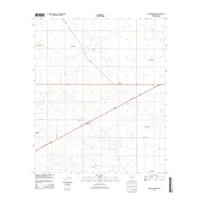
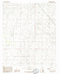
2013 Map of Ironhouse Draw
USGS Topo · Published 2013About this map
Mescalero Ridge rises in the western portion of this 2013 survey, defining the high plains topography of Lea County. The landscape is marked by the industrial footprint of the Reeves Oil Field and the expansive network of ranching operations that characterize the region. Vital transportation corridors including W Carlsbad Hwy, NM-529, and NM-238 intersect near the settlement of Pearl Valley, facilitating movement across this arid terrain. For genealogists and local historians, the presence of the Morgan Cem and Crockett Cem near the southern edge of the quadrangle offers specific points of interest for family research. Natural features like Ironhouse Draw and the intermittent waters of Red Lake highlight the hydrology of the Llano Estacado, while landmarks such as Turner Ranch show the continued legacy of land use in southeastern New Mexico.
Find a feature on this map
20 named features on this map. Tap any name to fly to it.
Don’t see what you’re looking for? This feature index may not catch every label — zoom into the map to look around manually.
Map Details
Editions of this 2013 Ironhouse Draw Map
This is the sole edition of this map. No revisions or reprints were ever made.
Other maps of this area

1954 · Hobbs
USGS Topo · 1:250,000

1958 · Hobbs
USGS Topo · 1:250,000
1962 · Lovington
USGS Topo · 1:62,500
1962 · Buckeye
USGS Topo · 1:62,500
1963 · Monument
USGS Topo · 1:62,500
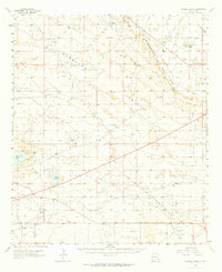
1963 · Laguna Gatuna
USGS Topo · 1:62,500
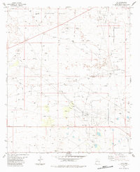
1984 · Lea
USGS Topo · 1:24,000
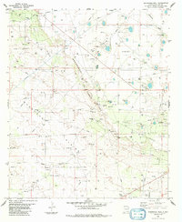
1984 · Ironhouse Well
USGS Topo · 1:24,000
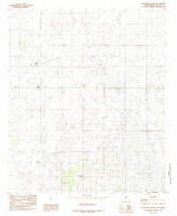
1985 · Monument North
USGS Topo · 1:24,000
1985 · Lovington SE
USGS Topo · 1:24,000