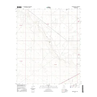
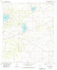
2017 Map of Ironhouse Well
USGS Topo · Published 2017About this map
Mescalero Ridge forms a prominent escarpment across this portion of the Llano Estacado, creating a stark elevation change in an otherwise level landscape. This 2017 survey by the U.S. Geological Survey documents a region defined by sparse water sources and ranching infrastructure, most notably at the Ironhouse Well in the northeast. The drainage of Ironhouse Draw cuts through the northern sections, illustrating the arid hydrology of Lea County. The map details a network of named tracks such as Hercules Ln, Gemini Ln, and Aquila Ln, which provide access to the remote sections above and below the ridge. These roads, along with Co Rd 55 and Co Rd 27-A, trace the grid of the Public Land Survey System, showing how the landscape has been partitioned for use in the modern era.
Find a feature on this map
15 named features on this map. Tap any name to fly to it.
Don’t see what you’re looking for? This feature index may not catch every label — zoom into the map to look around manually.
Map Details
Editions of this 2017 Ironhouse Well Map
This is the sole edition of this map. No revisions or reprints were ever made.
Other maps of this area

1954 · Hobbs
USGS Topo · 1:250,000

1958 · Hobbs
USGS Topo · 1:250,000
1962 · Lovington
USGS Topo · 1:62,500
1962 · Buckeye
USGS Topo · 1:62,500
1963 · Monument
USGS Topo · 1:62,500
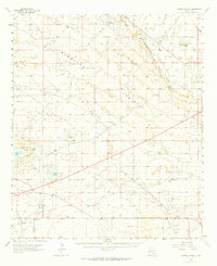
1963 · Laguna Gatuna
USGS Topo · 1:62,500
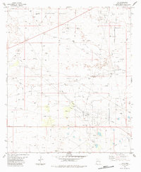
1984 · Lea
USGS Topo · 1:24,000
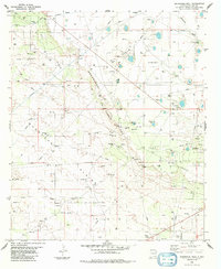
1984 · Ironhouse Well
USGS Topo · 1:24,000
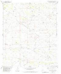
1984 · Laguna Gatuna NW
USGS Topo · 1:24,000
1984 · Laguna Gatuna
USGS Topo · 1:24,000