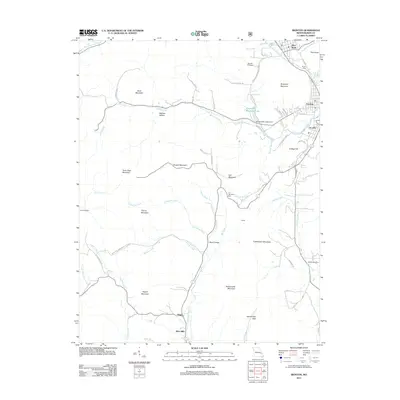
2011 Map of Ironton
USGS Topo · Published 2011About this map
Ironton and Arcadia serve as the primary population centers in this pocket of the Missouri Ozarks, situated in a valley surrounded by prominent peaks. The landscape is defined by its dramatic elevation changes, notably at Taum Sauk Mountain State Park, which contains the state's highest point and the scenic Mina Sauk Falls. To the north, the distinctive profile of Pilot Knob overlooks the community of the same name and the historic residential area of Brown Row.
Find a feature on this map
65 named features on this map. Tap any name to fly to it.
Don’t see what you’re looking for? This feature index may not catch every label — zoom into the map to look around manually.
Map Details
Editions of this 2011 Ironton Map
This is the sole edition of this map. No revisions or reprints were ever made.
Other maps of this area

1924 · Edgehill
USGS Topo · 1:62,500

1926 · Edgehill
USGS Topo · 1:62,500

1926 · Des Arc
USGS Topo · 1:62,500

1929 · Des Arc
USGS Topo · 1:62,500

1937 · Ironton
USGS Topo · 1:48,000

1943 · Lesterville
USGS Topo · 1:62,500

1945 · Ironton
USGS Topo · 1:62,500

1946 · Lesterville
USGS Topo · 1:62,500

1946 · Ironton
USGS Topo · 1:62,500

1949 · Rolla
USGS Topo · 1:250,000